Lovers of applied geography, come and observe the massifs, peaks, rivers and valleys on the giant map of the landscape, thanks to this gentle but sometimes aerial hike.
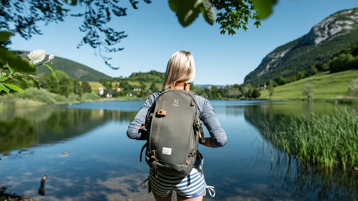
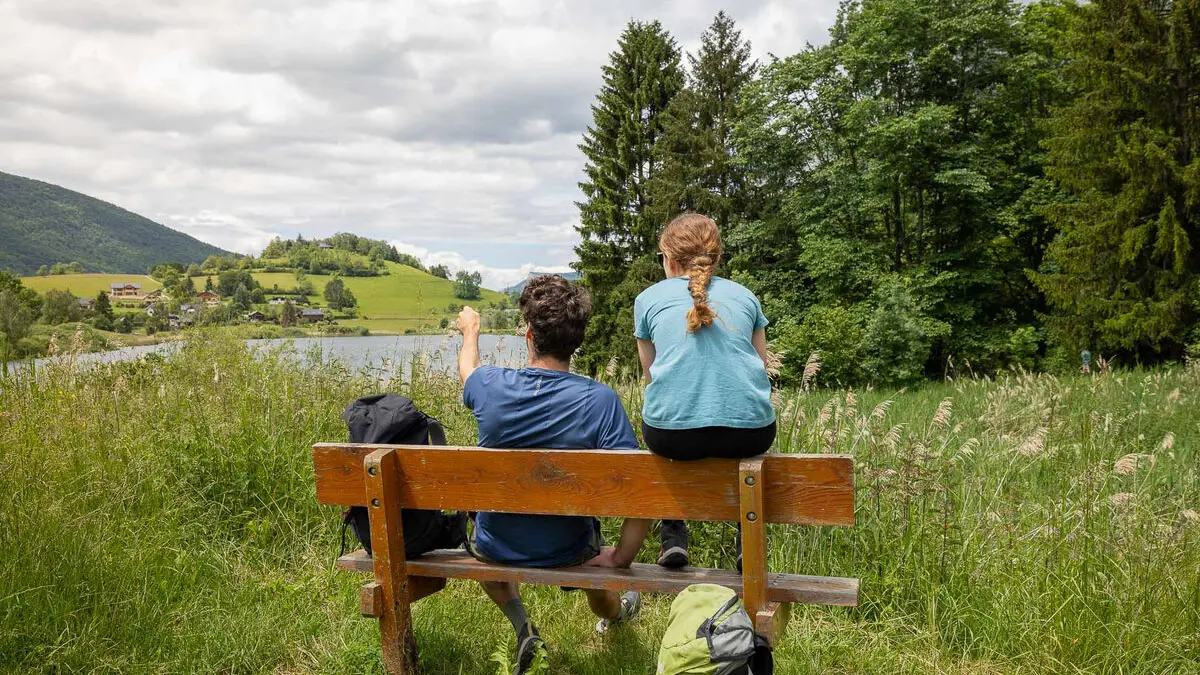
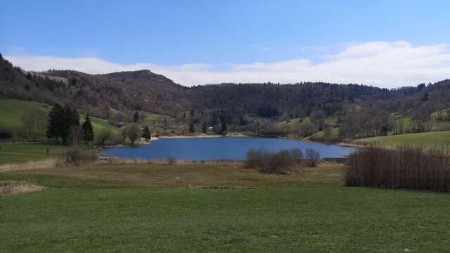
What a lovely start to this hike, with a view of the wonderful little lake of La Thuile, like a piece of blue sky falling at the foot of the mountains.
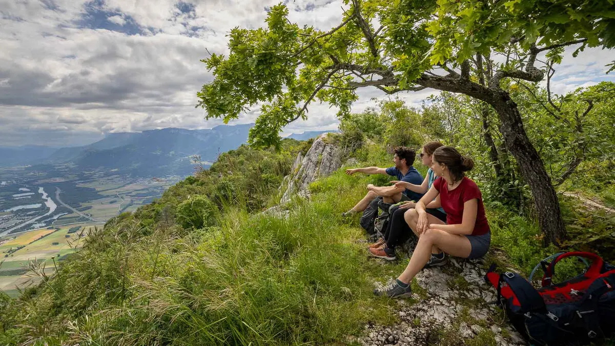
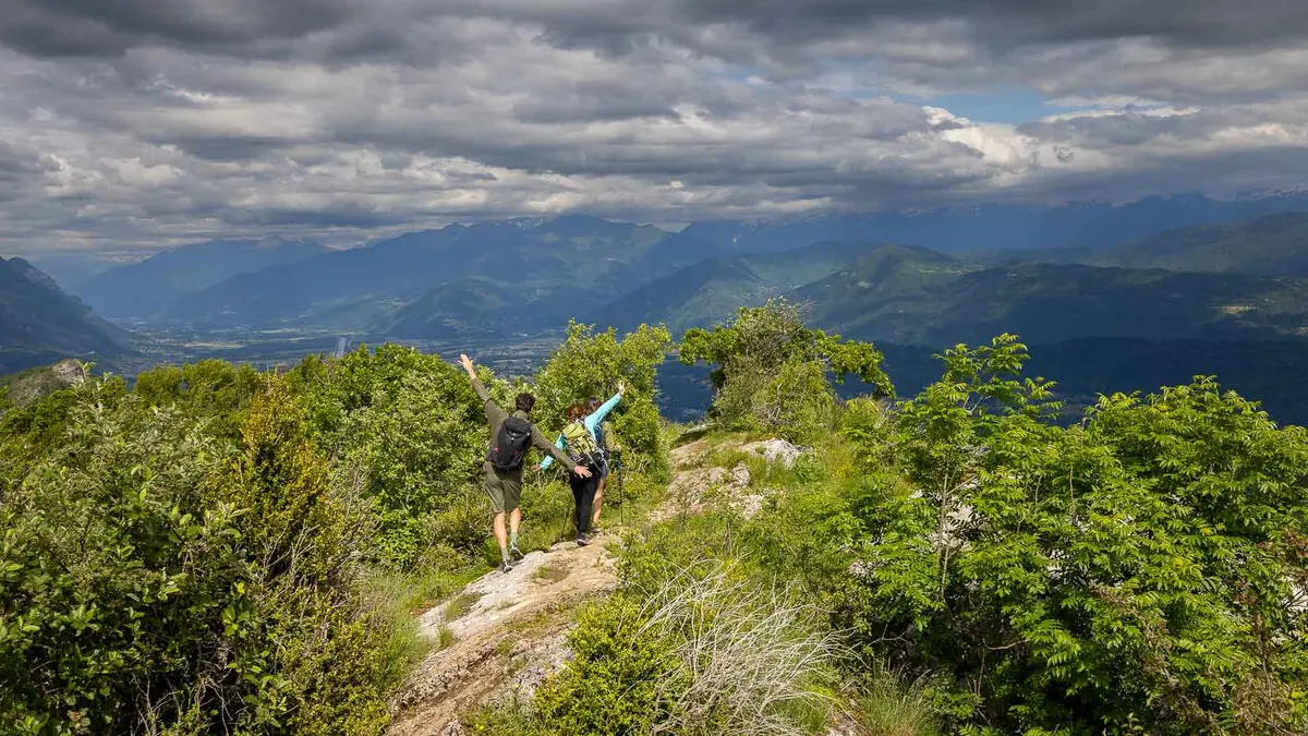
Arriving below the Roc de Tormery, the great landscape begins to appear.
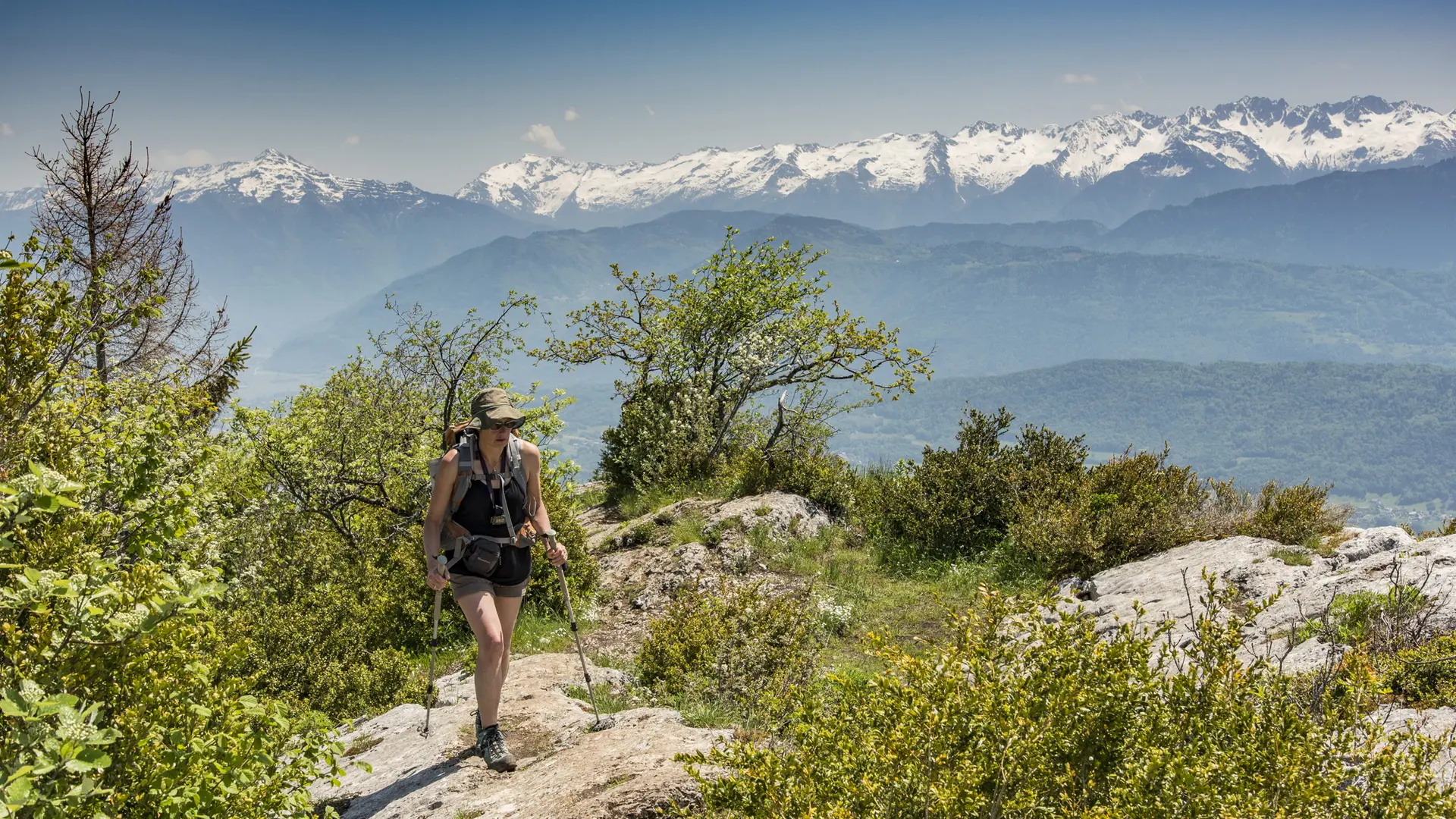
From here on, you'll need to be careful not to be distracted by its magnificence. The Granier rises up in front of you; Chambéry and Lac du Bourget stretch out to the right. The Isère valley runs off to the left and the Bauges massif stretches northwards.
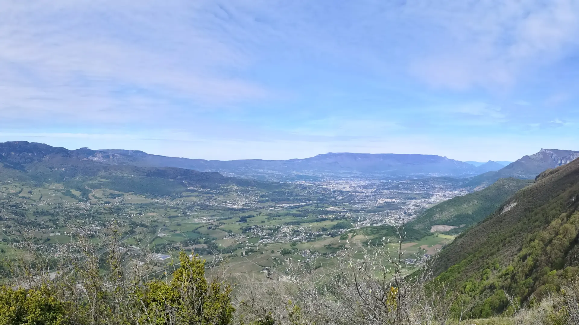
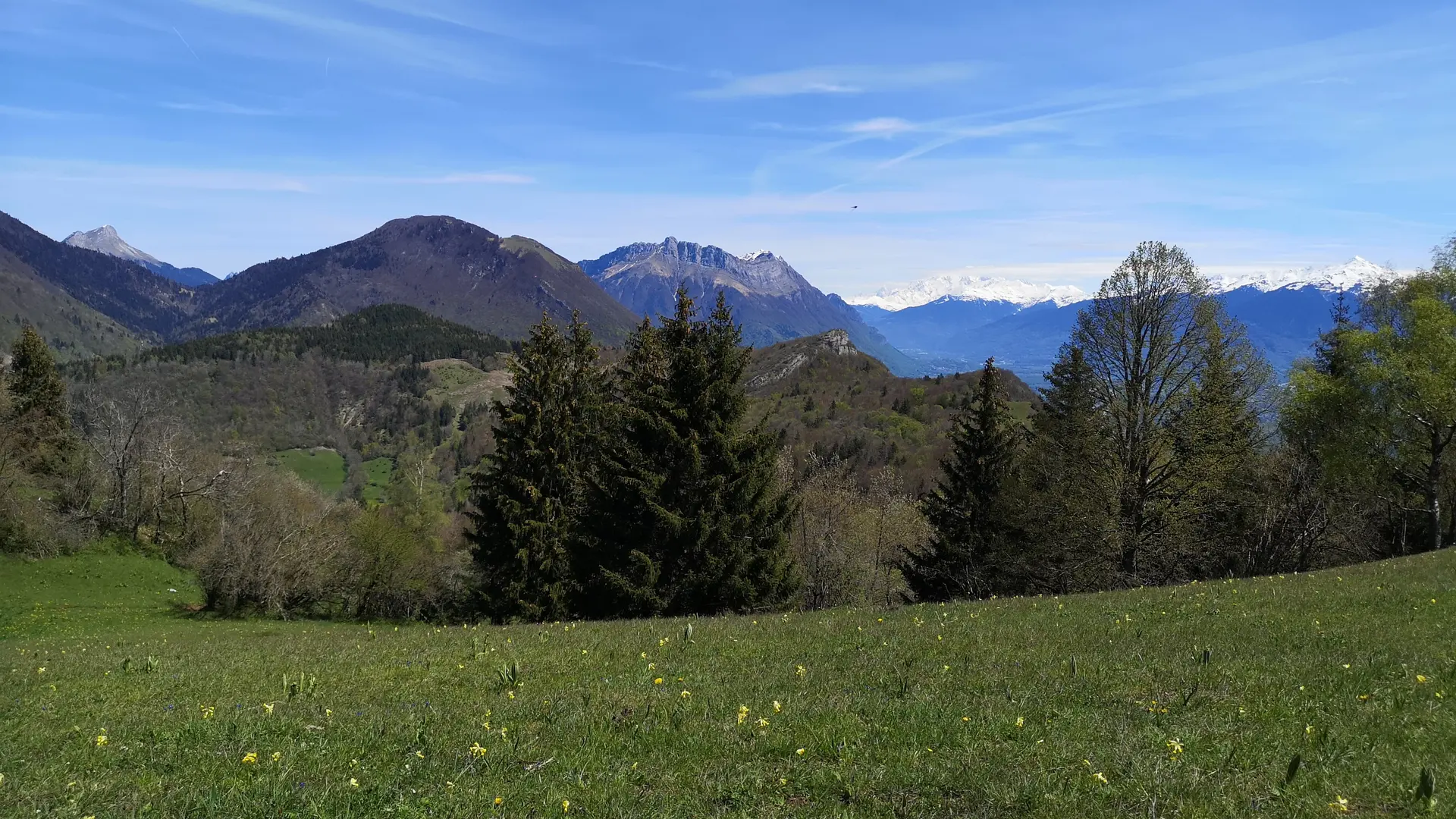
As you follow the ridge, the views follow one another without resembling one another, as you pass parks and rocks. Further on, the Albertville valley is in your sights.
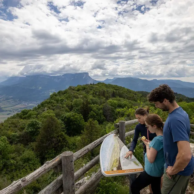
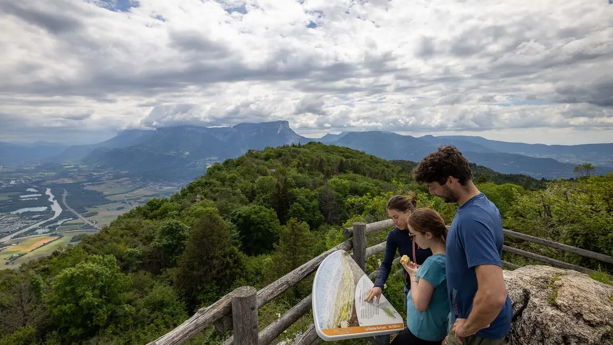
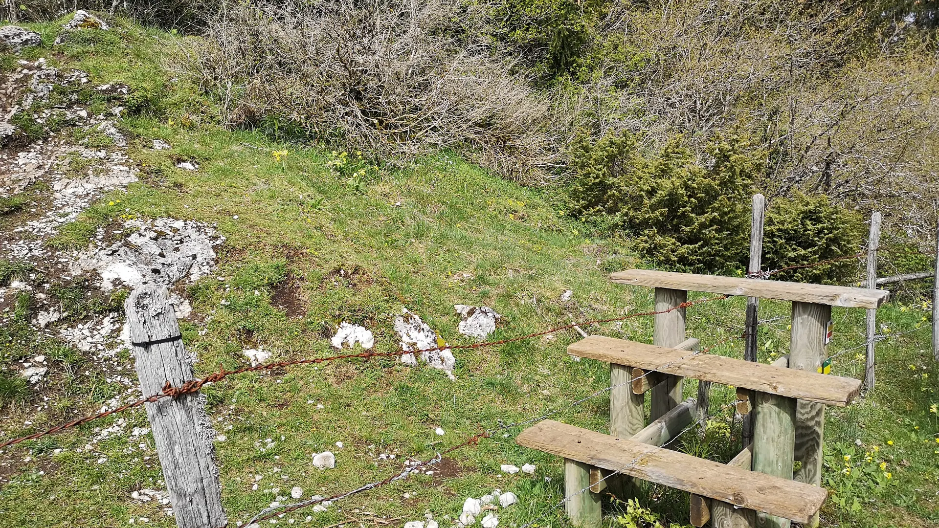
Along the way, an orientation table will help you find your bearings and name all the peaks you can see in the distance.
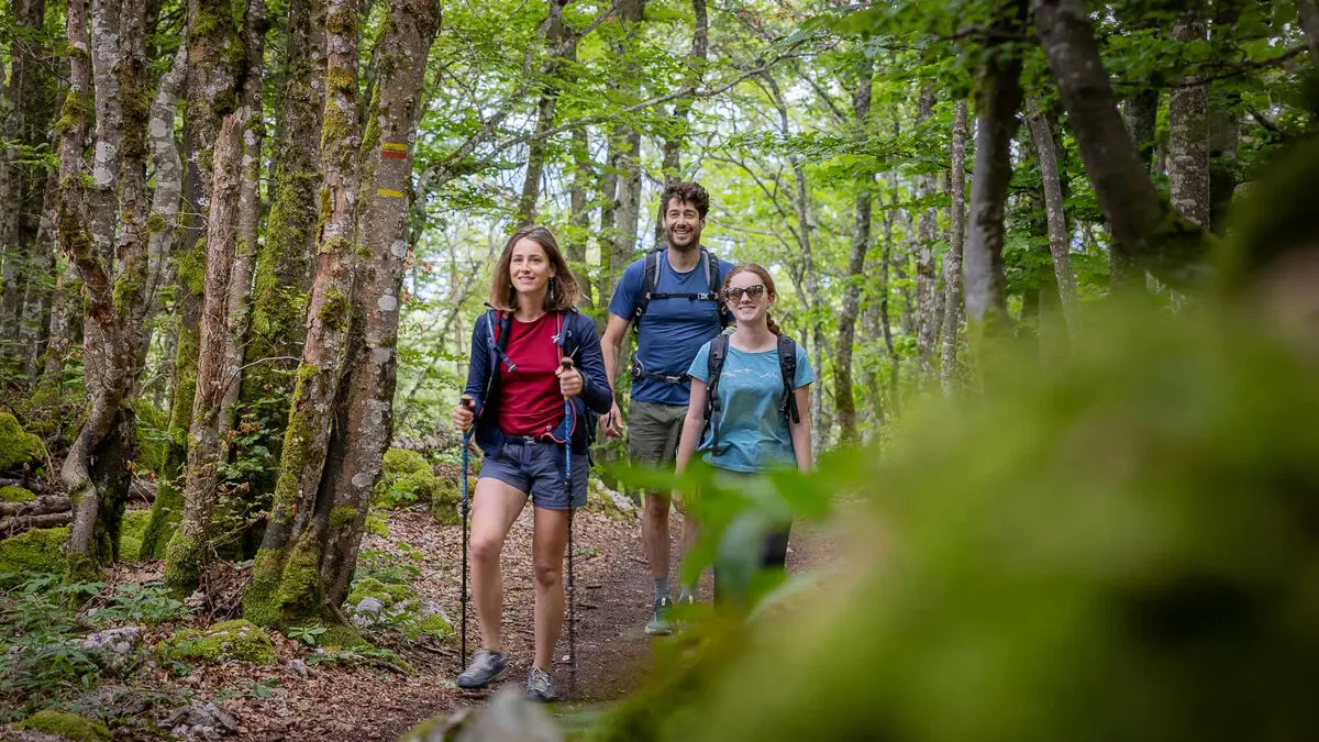
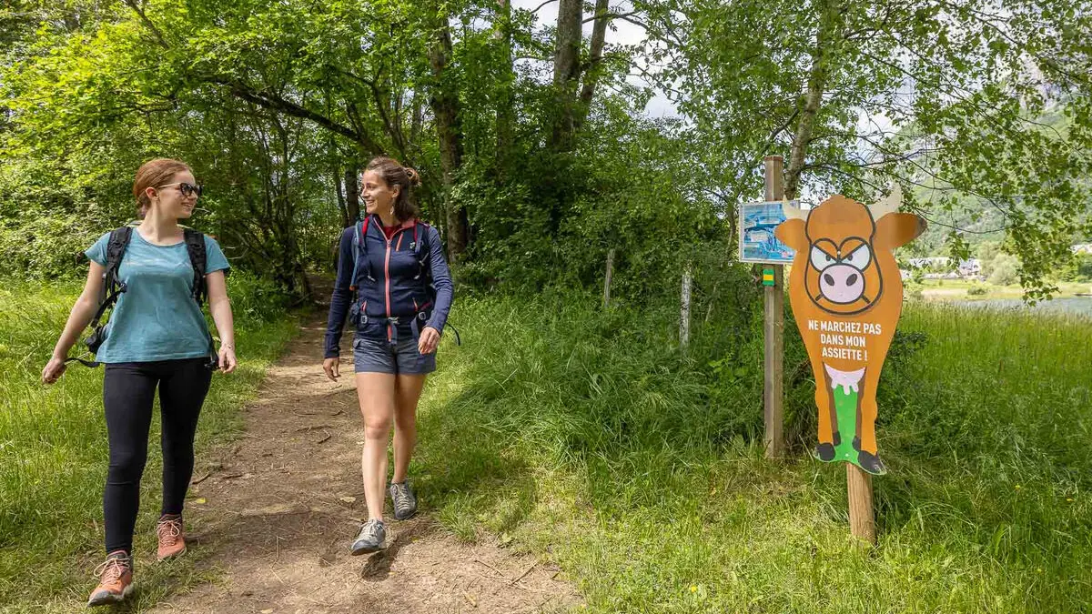
Crossing the forest again, the path takes you back to the village. At the bottom, it skirts the lake, whose soothing view signals the return to the valley and the end of this magnificent journey.
When you arrive, please respect the parking spaces provided. Cars parked outside the spaces are likely to obstruct traffic, and particularly emergency services. Bivouacs are not permitted on this enchanting site.