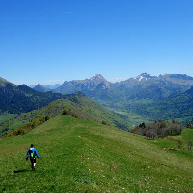
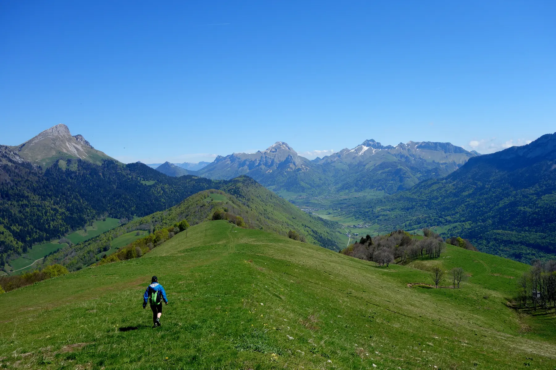
A take-off point in the heart of Le Massif des Bauges.
To get there, park in Routhennes (hamlet in the village of Sainte-Reine) in the small square near the café. Take the road which goes up in front of the café then follow the forestry track up to the summit. Elevation difference: 690 m long.
Take-off point situated at the top of the ridge below (1450m).
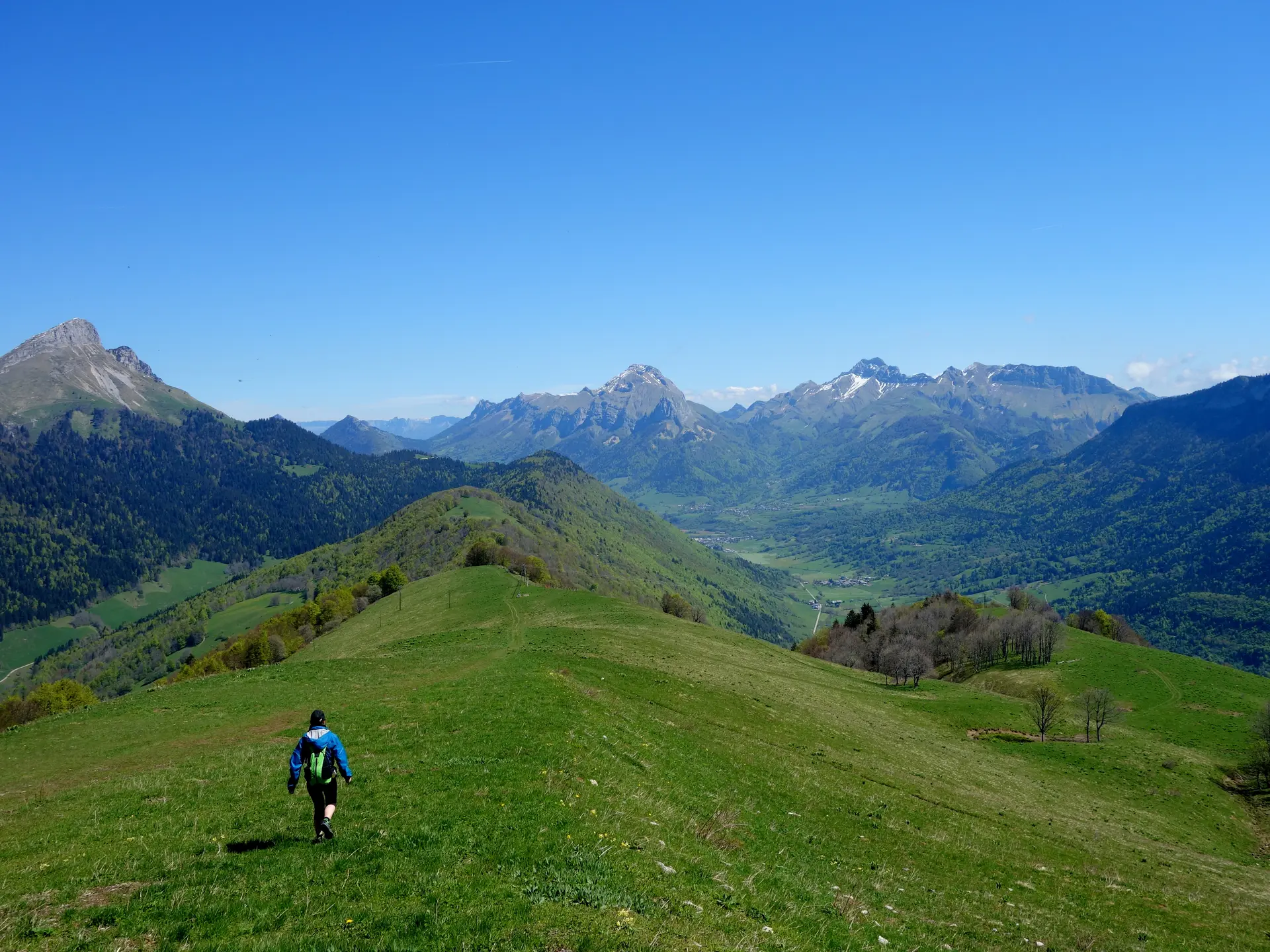
Take-off point situated at the top of the ridge below (1450m).