At the Col du Crucifix , it's possible to do a looped walk to go down via the Col Saint-Michel (see map).
History: In the past, to get to Novalaise from Chambéry you had to cross Épine Mountain by following the Roman Road which passed through the Col Saint-Michel (St Michel Mountain Pass). In 1735, they decided to make a new passage - the "Sarde Way" or "voie sarde" via the Col du Crucifix; the work was considerable and was to last for more than 70 years.
Grottes François I: in 1516, the King came to Chambéry. On his way back crossing over the Épine mountain range, he was caught out with his court in a violent thunderstorm. They stopped for the night in a shelter under the rock (near the Col du Crucifix).
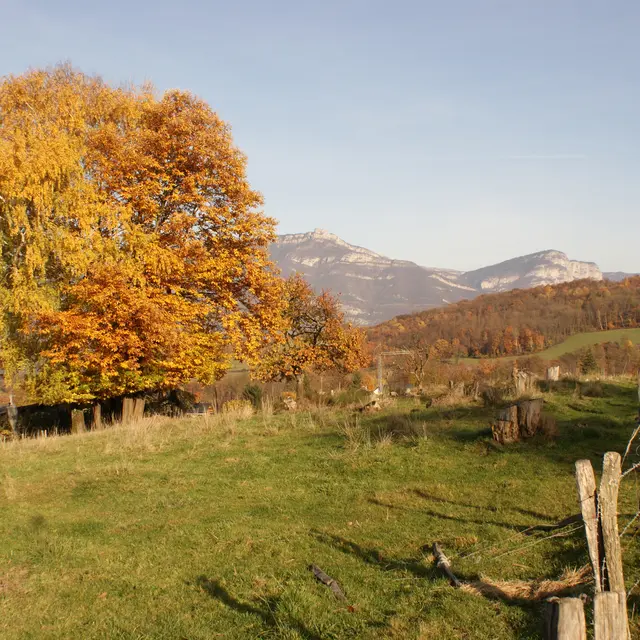
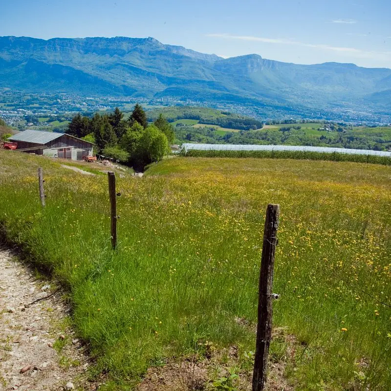
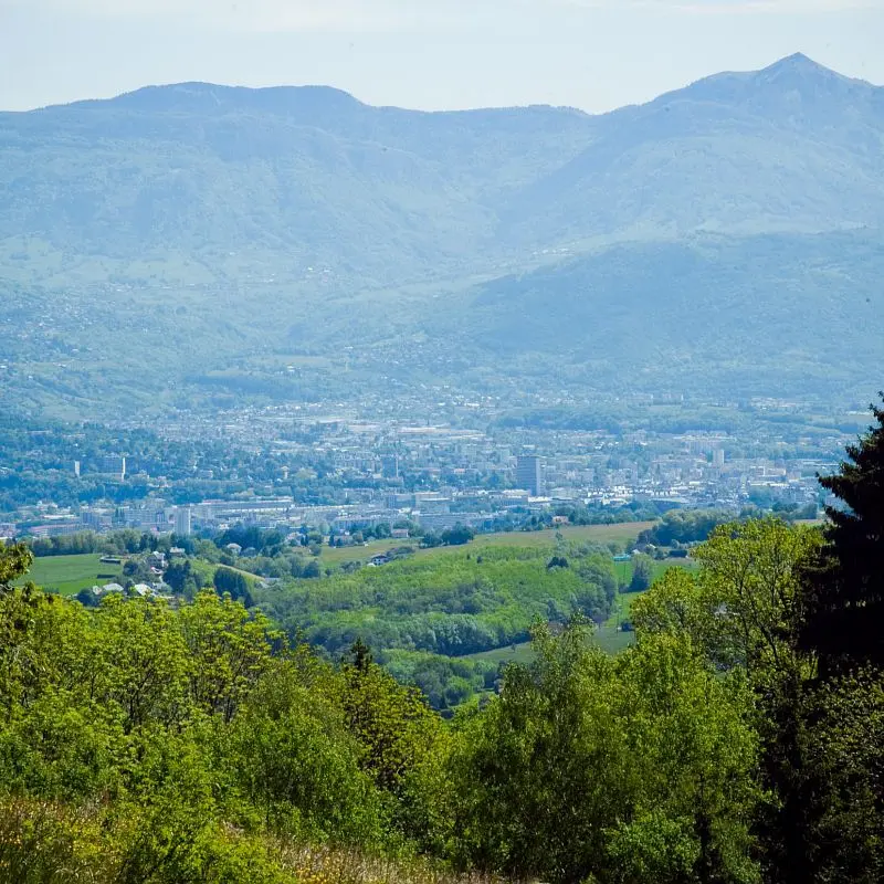
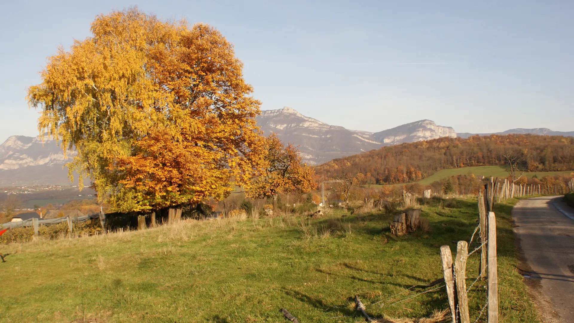
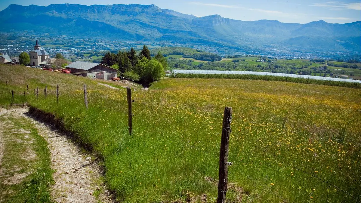
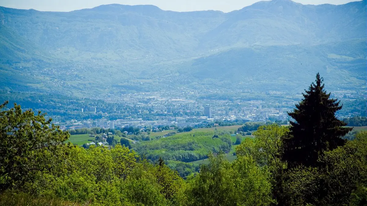
Panoramic viewpoint: Massifs des Bauges and Belledonne Mountains.
Discover: Saint-Sulpice Church, the cross at the mountain pass, remains of the Roman and Sarde Ways, François I Caves (20 minutes from the Col du Crucifix).
Read more