Place Saint-Léger
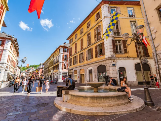
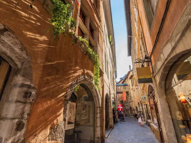
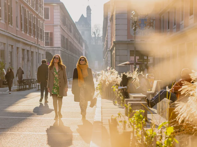
Why is there a Place Saint-Léger when it looks more like a long street?
A resident of Chambéry in the Middle Ages would have been astonished not to see the River Albane flowing through the heart of the town. In those days, small stone bridges were used to cross from one bank to the other. Each had its own name: Grand’Rue on one side, Rue Grenaterie (later Rue Tupin) on the other.
At the end of the 16th century, the Albanne branch was covered over. The old names disappeared and were replaced by a new one: Place Saint-Léger. The name paid tribute to the church that stood on this small street, on the site now occupied by the Marmousets fountain, until it was demolished in 1760.
This is how today’s Place Saint-Léger, which is both long and narrow, came to be known as a ‘square’ rather than a ‘street’.
An unusual fact: the Saint-Léger church itself was built straddling the river. To cross the river, you had to go inside the church… sometimes even with your arms full of provisions in the middle of a church service!
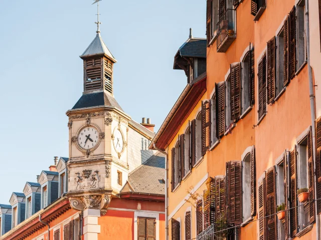
The alleys
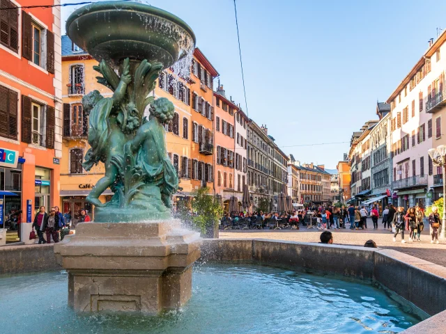
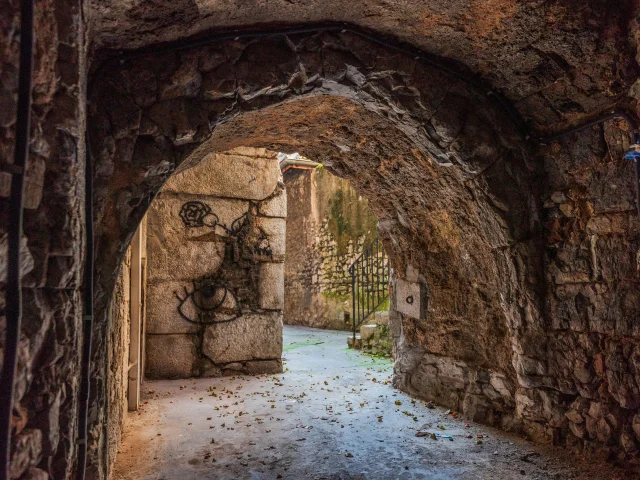
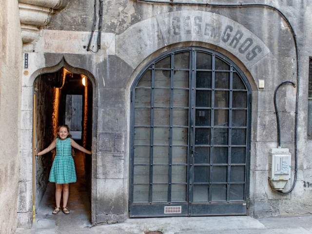
Lyon has its traboules, Chambéry has its alleys. A real curiosity in the historic centre, they are like secret passageways winding their way between tall, colourful buildings.
Their origins lie as much in history as in geography. Chambéry’s medieval buildings are deep and narrow at the front, a direct consequence of the ‘toisé’, a 14th-century tax calculated on the width of the main façade. The narrower the house, the lower the tax. Hence the characteristic urban fabric.
The instability of the marshy subsoil is also thought to have contributed to their development: these long corridors – sometimes running parallel, sometimes labyrinthine, and often covered – facilitated movement whilst allowing the buildings to support one another.
Intimately linked to the history and identity of the city, the alleys remain the very soul of old Chambéry. Most of them can be seen from Place Saint-Léger as you stroll through the city.
GCAT_072166
|
Chambéry'CimesYou might also like to listen to...
Rue de Boigne
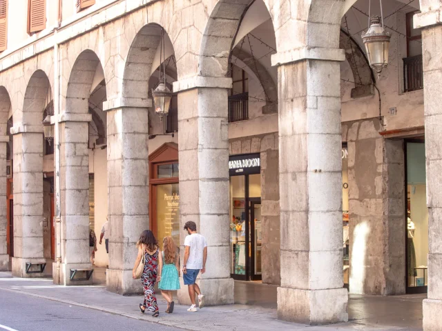
When someone from Chambéry tells you to “meet under the porticoes”, they must mean Rue de Boigne!
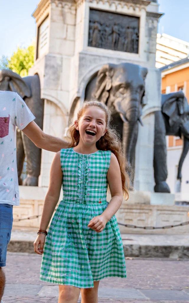
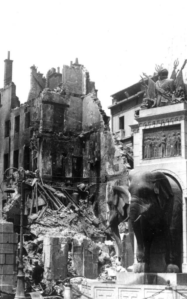
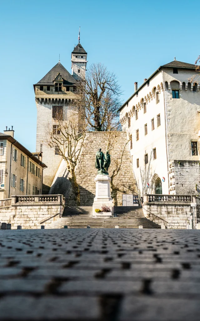
This major thoroughfare, opened in the early 19th century, owes its name and existence to General-Count de Boigne, a benefactor of the town, who financed its construction. Its layout proudly links the castle of the Dukes of Savoy on one side with the Elephant Fountain on the other, a monument erected in his honour in 1838.
At the time, it caused quite a stir in the old town: many houses were demolished to make way for this modern development. But it brought fresh air, light and a smoother flow of traffic to the heart of Chambéry.
Another consequence was the disappearance of the ‘cabornes’ from Place Saint-Léger. These small wooden shops, with their overhanging roofs, gave the impression of a covered street. With the creation of the Rue de Boigne and its elegant arcades inspired by Turin, these popular shops were left to fade into obscurity… and were sacrificed in favour of a street with a more refined style, which has since become a symbol of Chambéry’s town centre.
Chambéry’Cimes
is a podcast by the ‘ Chambéry Montagnes ’.
Sound recording, editing, mixing and production: Kamel Bouziane, Art AbordSavoie.
Music by Skal.
In this second episode, we explore Chambéry in the company of Chantal George, a guide specialising in historical monuments, Jacques Viout, vice-president of the Société des Amis du Vieux Chambéry, and Julie Chavaribeyre from the tourist office.