Easy access
Morning
Afternoon

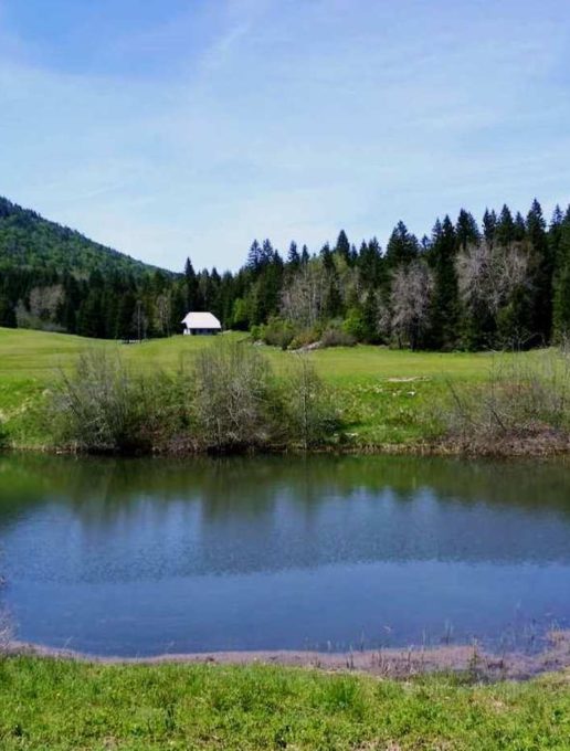
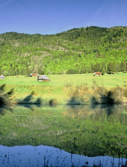
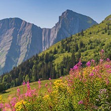
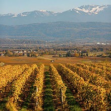
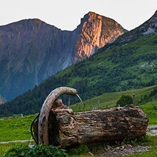
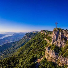
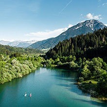
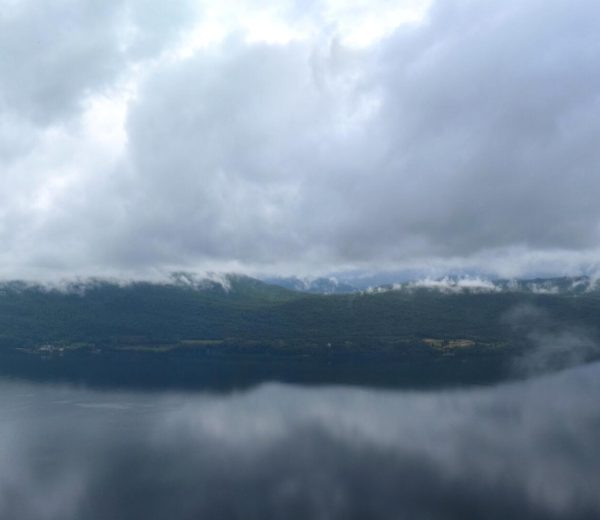
A peaceful location, where you can explore chalets and plains, nestled in the heart of a vast limestone, forest-covered space. This easy walk can be done all year round, either the shade of the forest or wearing snow shoes.
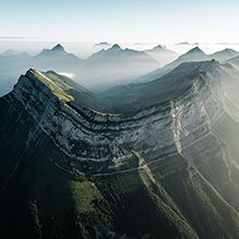
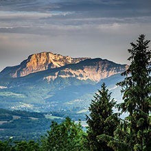
The Mariet depression corresponds exactly to the surface of a limestone syncline fold. Whilst this limestone surface appears exposed on each side of this little plain, it is actually a moraine, an accumulation of deposits left by glaciers. These argile-rich glacial deposits seal the bottom of this depression, allowing fertile plains and pools to be formed. This particularity contrasts with the limestone karst seen on the surface nearby, which acts like a sieve.
Access via the village of Arith and the hamlet of Montagny, and park in the Mariet car park at the end of the tarmac road. Next, follow the track for 1.1km. Once you have passed the escarpment which marks the Faille d'Arith pasage, follow directions for Mariet. Once you have arrived at the prairies of the Vallon du Mariet (underneath), follow the path on the edge on your right.
Open daily, throughout the year.
Free access.