Easy access
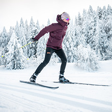
Morning
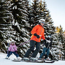
Afternoon

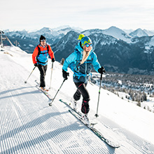
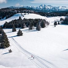
For those who like an energetic hike in the forest!
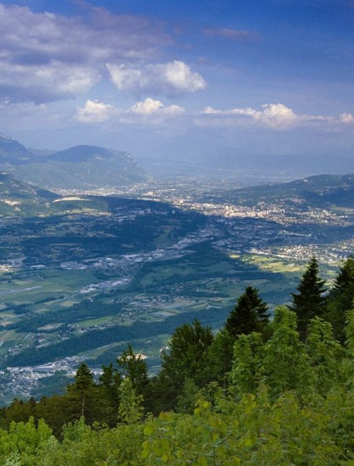
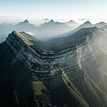
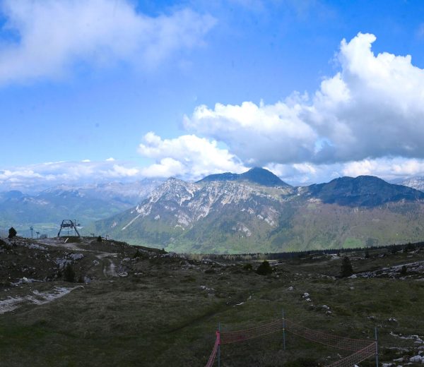
This allows you to reach one of the highest points in the Épine Mountains and offers a breathtaking panoramic view of the Alps.
Two variants are possible: one starts at Pré Puisat and the other at Combe d'Armée.
Route
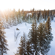
-At the Col de l'Épine car park follow the trail towards Château Richard; it passes close to the mare pédagogique (educational pond) and the hôtel des abeilles (bee hotel).
Continue to the Pré Puisat car park.
The variant no. 1 starts at this stage (6.7 km - 2 hrs 45 mins).
-Continue on the trail which follows the ridge of the Épine Mountains to the Combe d'Armée car park.
The variant no. 2 starts here (3.7 km - 1 hr 45 mins).
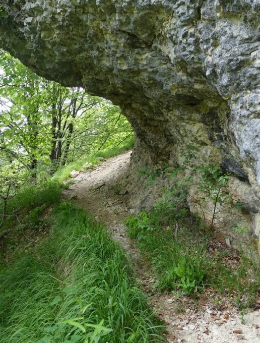
-Go up left via the path towards Château Richard then continue on the stony forestry road; follow the yellow markings.
-Turn left at the signpost marked "La Table des Princes, altitude 1 230 m".
Then at the signpost "Les Échelles, altitude 1 260 m" leave the track and take the little trail which goes up the hillside through the forest.
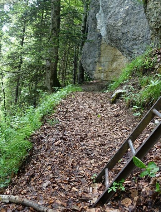
-2 uphill itineraries allow you to reach Château Richard: one runs alongside the cliff, and involves climbing up several metal ladders and quite steep trails; the other waymarked "passage facile" is less steep.
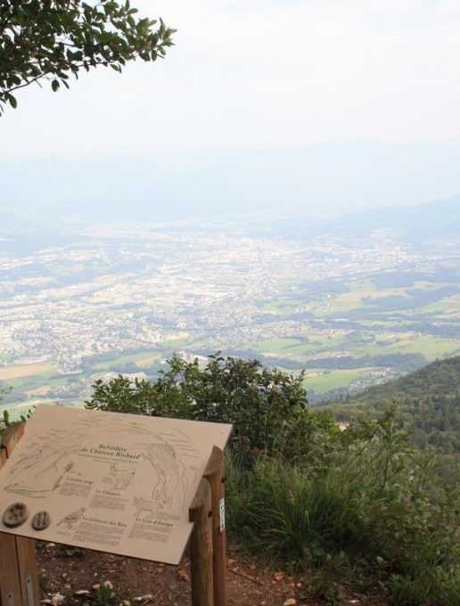
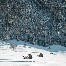
-At the summit, a little platform offers a magnificent panoramic viewpoint and also has an information board.
-Climb up via the forestry track to "Château Richard, altitude 1 370 m" where a venerable tree marks the intersection, turn right in the direction of the Combe d'Armée car park. Continue the trail to the car park of the starting point.
Discover
-The panoramic viewpoint of the Col de l'Épine with an information board which displays the evolution of the landscape in the transverse valley of Chambéry.
-Educational pond: this currently hosts several protected species including the agile frog, common toad or the alpine newt and numerous dragonflies. These insects participate in the organisation of a more vast ecosystem comprising of, among others, bats nesting in the nearby woods.
-The bee hotel: a wooden structure created to provide shelter for pollinating insects (solitary wild bees) and to support the biodiversity.
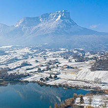
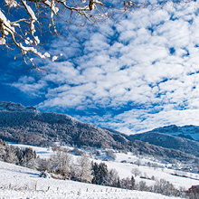
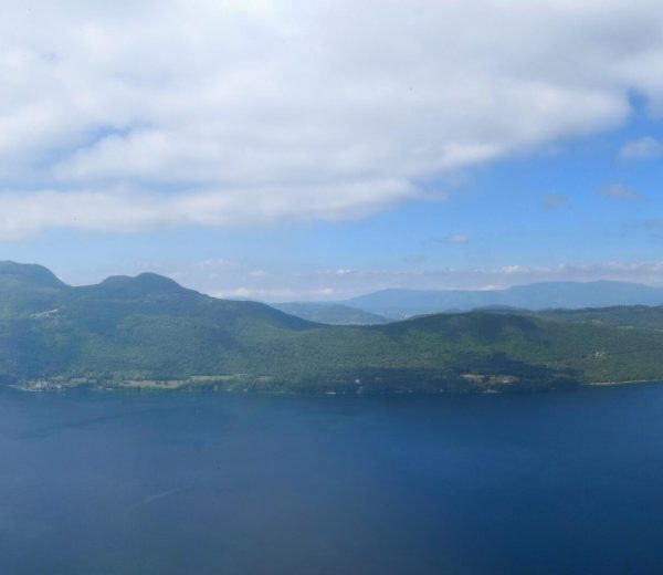
-Combe d'Armée viewpoint with a vista on Lake Bourget and the surrounding mountains.
-The viewpoint of Castle Richard: panoramic view of the Alps (Mont Blanc, the Chartreuse, Belledonne, Lauzière and Bauges mountain ranges) and a viewpoint of Lake Aiguebelette and the Savoyard foreland. An information board shows some protected species of the Épine Mountains.
Interesting titbits
The town of La Motte-Servolex is one of the first in the Rhône-Alpes region to have created a forest ecological network to develop the biodiversity. For this, 11 old-growth forest stands were delimited in 2009, for a total surface area of 20 hectares or 4% of the local forest's surface area. In these stands, the forest is left to develop freely without human intervention. They are representative of all the natural habitats on the Épine mountain range. The dead wood left there on the forest floor or standing, is a wonderful wealth of biodiversity (habitats of mushrooms, insects, bats). Spaced out by 350 m on average, these forest stands ensure an ecological continuity for the species of the forest. The forest is certified PEFC (Programme for the Endorsement of Forest Certification) since 2003. This system defines and promotes sustainable forest management regulations.
D/ Parking du col de l'Epine
1/ Suivez le sentier direction Château Richard ; il passe à proximité de la mare pédagogique et de l’hôtel des abeilles.
Poursuivez jusqu’au parking de Pré Puisat. Le chemin monte progressivement jusqu’aux lieux-dits « La Combe Armée » puis la « Table des Princes ».
2/ Deux itinéraires permettent d’atteindre Château Richard : un longe la falaise, emprunte plusieurs échelles en fer et sentiers raides; l’autre fléché « passage facile » est moins escarpé.
Vous pouvez poursuivre jusqu’à la Croix du signal située sur un promontoire rocheux.
3/ Retour par le même itinéraire.
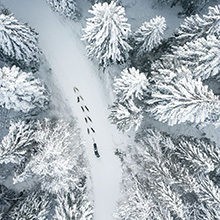
All year round.
Subject to favorable snow and weather conditions.
| Elevation gain | 581 m |
| Tricky sections | The final climb up to Château involves climbing up metal ladders. This steep section of the trail is not recommended for unaccompanied children or for people who are afraid of heights, but an easier, alternative signposted route is available. |
| Complément accueil | Zone naturelle protégée, cueillette interdite. Mare pédagogique : elle accueille actuellement plusieurs espèces protégées : grenouille agile, crapaud commun ou triton alpestre et de nombreuses libellules. Hôtel des abeilles : structure en bois installée pour héberger les insectes pollinisateurs (abeilles sauvages solitaires) et favoriser la biodiversité. |
| Nature of the ground |
Rock
Stone Ground Not suitable for strollers |
| Cartographic references | Walks and hikes, Chambéry urban area. IGN Top 25 - 3332OT. |
| Animaux |
Pets allowed
Hosting conditions: Les chiens doivent être tenus en laisse pour le respect de la faune sauvage. |
Orientation board
Pets welcome