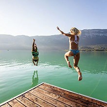
Easy access
Morning
Afternoon

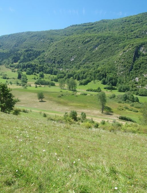
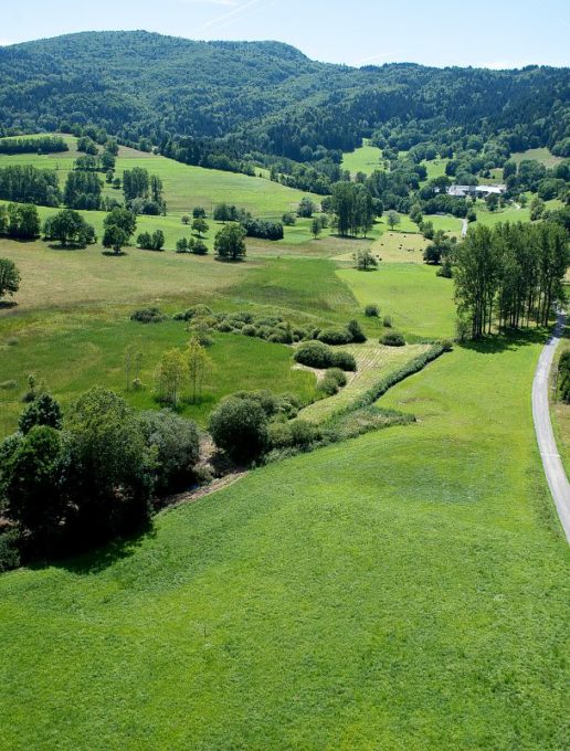
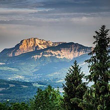
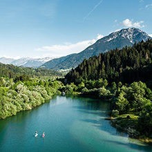
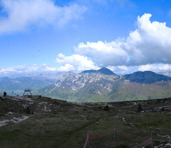
Situated at 780 m deep in a verdant valley, the Marais de Nécuidet (marshland) has much ecological appeal. The wet grasslands of the Marais are preserved by traditional and adapted agricultural practices like grazing and scything.
Discover
-On the route, an information board allows you to discover the geographical features, animals and plants of the marshland.
-Protected plants in the Rhône-Alpes region: the adder's-tongue fern and Montpellier thistle (Mediterranean variety which reaches its northern limit in the Savoy region).
-A golden-ringed dragonfly, water-meadow grasshopper, and marsh warbler (bird) are among the living pearls of this wetland.
Interesting titbits
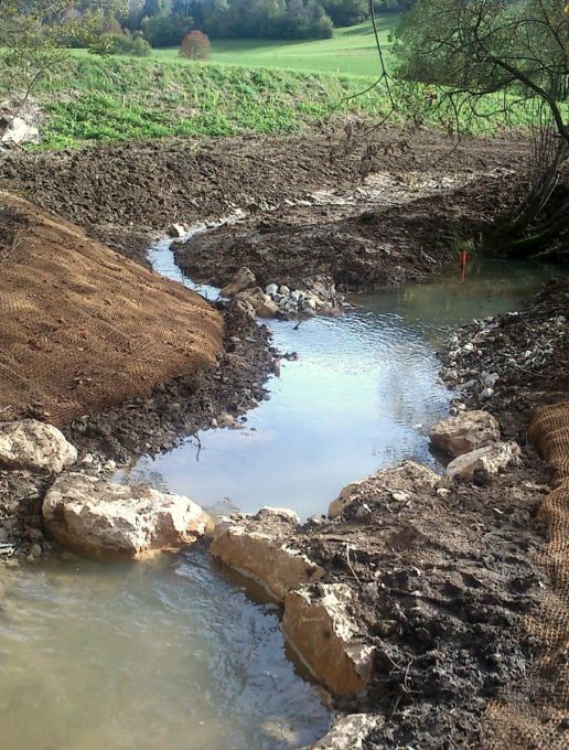
In the past, the marshland used to stretch to the foot of the hamlets of Nécuidet and Morion. In 1975, the brook that flowed in this vale was transformed into a straight drainage ditch to reach the farmlands. Little by little the marshland dried up and lost its remarkable natural features.
In 2014, renaturation works of the brook and the wetland have returned the marshland to its true function. Brown trout, dragonflies, amphibians are back again!
Departure: From the village hall (Salle des Fêtes), follow the tarred road in the direction of Morion.
1/ At the first bend, take the path to the right.
2/ At the junction, turn left and take the path that descends alongside a hedge of pollarded ash trees (pruned into a ball).
3/ In Morion, turn left towards the tarred road.
4/ Take the path running alongside the Nécuidet Marshland to the right.
The variant, starting at the "Route de Nécuidet", joins the route at this stage.
5/ At the cross, take the direction of "Le Lac" to return to the village of Thuile.
All year round.
Subject to favorable weather.
| Elevation gain | 138 m |
| Nature of the ground |
Stone
Ground Hard coating (tar, cement, flooring) Not suitable for strollers |
| Way marking | Yellow markings. |
| Cartographic references | IGN Top 25 - 3332OT and 3432OT. |
| Animaux |
Pets allowed
Hosting conditions: Les chiens doivent obligatoirement être tenus en laisse. |
Picnic area
Pets welcome