Easy access
Morning
Afternoon

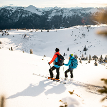
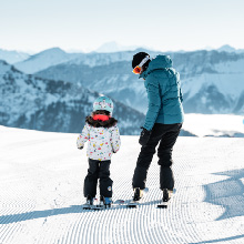
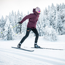
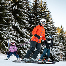
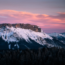
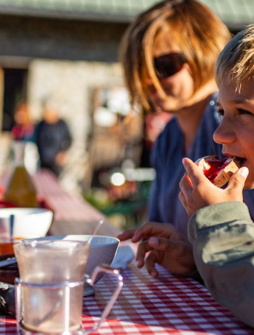
This hike in the heart of the Massif des Bauges is an ideal way for the whole family to try out gentle roaming... with the added bonus of a night in a comfortable refuge... all new and beautiful! So what are you waiting for?
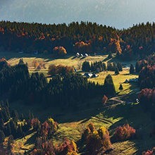
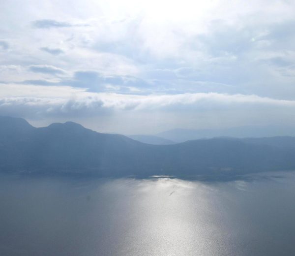
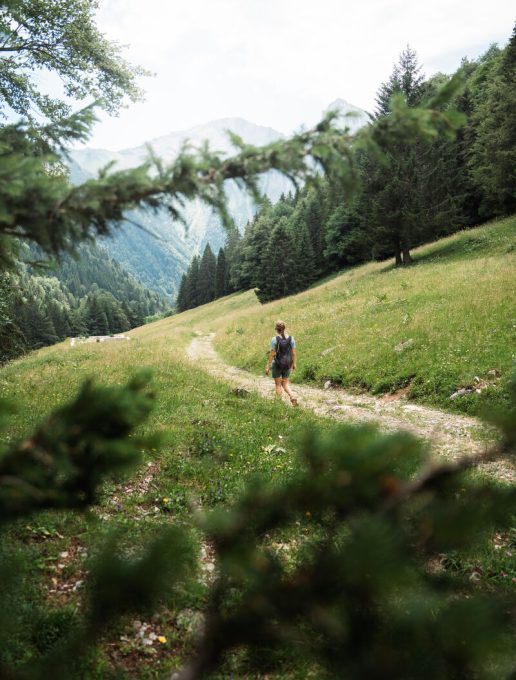
Your adventure begins on a wide, comfortable forest track along the Chéran river. It's said that gold miners once looked for gold in this wild river.
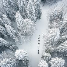
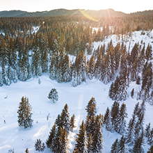
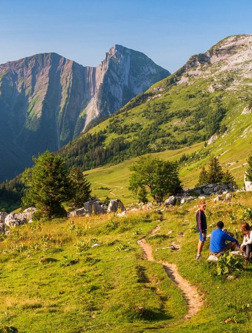
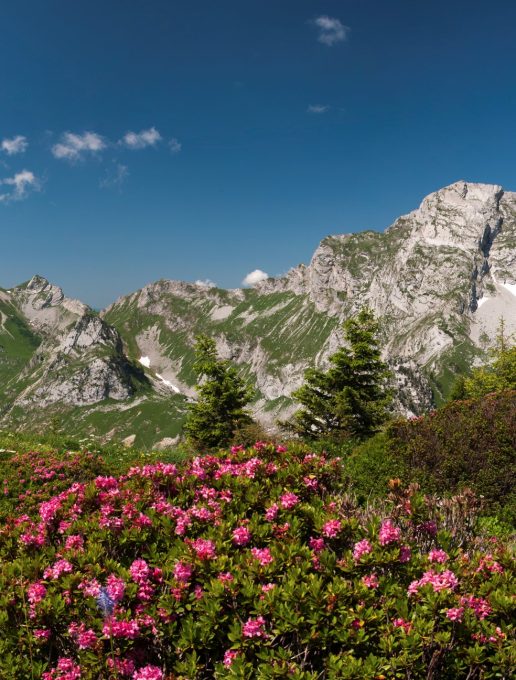
As you go along, you enter the beautiful Coutarse forest, where the fir trees offer you their freshness. Don't stray off the marked trails, as this is a protected area where wildlife must not be disturbed.
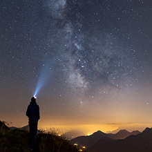
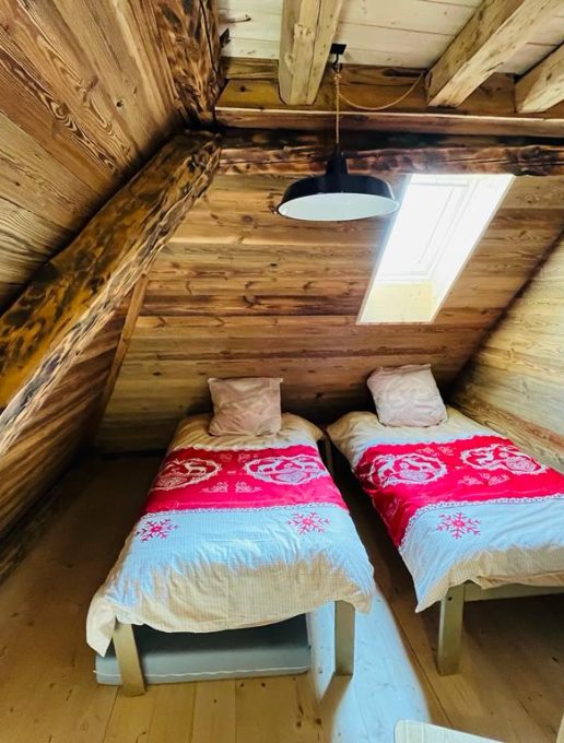
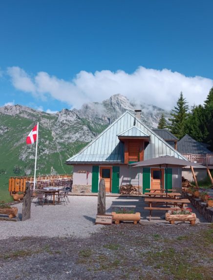
After a two-hour climb, rest assured that your efforts will be rewarded, as the brand-new Coutarse refuge is here to welcome you comfortably. A delicious meal based on local produce awaits you, and what can we say about a peaceful night's sleep in the heart of the reserve?
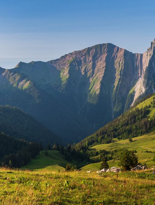
On the way back, you'll need to take a short walk down the trail to reach the other side of the Nant d'Orgeval. Below, you can hear its murmur.
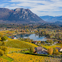
From the Orgeval meadows, the descent takes place on a wide but steep path known as the "Chemin du Gros Fayard". Fayard is the local name for the Beech tree, so useful in the mountains for heating and making furniture. And it's true that there are some fine specimens here!
You're already back at Nant Fourchu! So, when's the next time you'll spend a night in a refuge?
Start: Parking du Nant Fourchu
1/ DAY 1: from "Nant Fourchu" to "Refuge de Coutarse" / Duration: 2h30 / Total ascent: 610 m / This 1st stage is a gentle one, following a wide forest track / First skirting the Chéran, the track then climbs through the Coutarse forest. On arrival, you'll appreciate the comfort of the brand-new Coutarse refuge. Situated at an altitude of 1604 m, this modern refuge is guarded from May to October, Telephone: 04 50 52 61 51
E-mail: reservation@neaclub.com. Located in the Research Zone of the Bauges National Hunting and Wildlife Reserve, it is important to stay on the marked trails to avoid disturbing the wildlife.
2/ DAY 2: from "Refuge de Coutarse" to "Nant Fourchu" / Duration: 3h40 / Elevation gain: - 940 m / Descend on the track to the crossroads, then join the crossroads called "Sous Orgeval - 1400 m". (Possible extension: climb to Col d'Orgeval and back: allow for + 340 m ascent). From the Orgeval meadows, descend to the left along the other bank of the Nant d'Orgeval towards the Gros Fayard, then join the Nant Fourchu.
From 15/05 to 15/10.
Subject to favorable weather.
| Elevation gain | 680 m |
| Complément accueil | Please note that dogs are not allowed in the Réserve de Chasse et de Faune Sauvage. |
| Nature of the ground |
Stone
Ground Not suitable for strollers |
| Cartographic references | TOP 25 IGN 3432 OT Massif des Bauges |
| Animaux |
Animaux non acceptés
Hosting conditions: This hike takes place in the Bauges National Hunting and Wildlife Reserve. Dogs are forbidden, even on a leash. |