Easy access
Morning
Afternoon

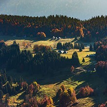
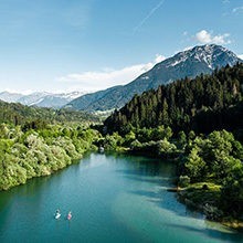
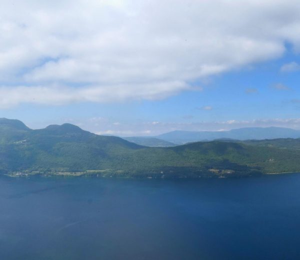
A classic snowshoeing trek that allows you to make a loop tour. From the wayside cross, the view is breathtaking over the Bauges Valley and the surrounding peaks.
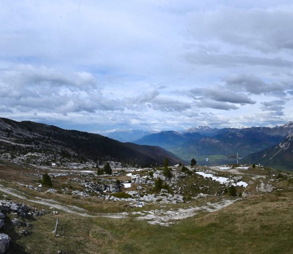
Join the hamlet of Le Coudray in Jarsy. Follow a hedge-lined path that climbs between meadows and woodland to reach the Chargieu chalets. Climb to the left to reach the large mountain pasture chalet and then the Croix d'Allant. You can continue along the ridge as far as Plan de la Limace. For the return journey, either take the same route back down or switch to the other side of the ridge and take the wide forest track down to the hamlet of Précherel. Take the tarmac road back to the start car park.
0/ Join the hamlet of Le Coudray in Jarsy. Follow a hedge-lined path that climbs between meadows and woodland to reach the Chargieu chalets.
1/ Climb to the left to reach the large mountain pasture chalet and then the Croix d'Allant. You can continue along the ridge as far as Plan de la Limace.
2/ For the return journey, either take the same route back down or switch to the other side of the ridge and take the wide forest track down to the hamlet of Précherel.
3/ Take the tarmac road back to the start car park.
From 01/12 to 15/04.
| Elevation gain | 800 m |
| Nature of the ground | Non-groomed itinerary |
| Cartographic references | Map TOP 25 IGN 3432 OT, Massif des Bauges |
Parking nearby