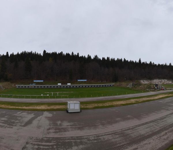
Easy access
Morning
Afternoon

Access the Hautes-Bauges and in particular the Réserve Nationale de Chasse et de Faune Sauvage des Bauges, a protected natural area in the heart of the Regional Nature Park. Up there, the chamois are watching you!
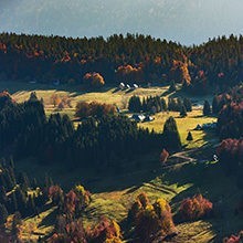
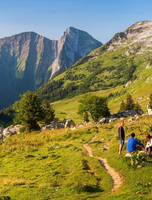
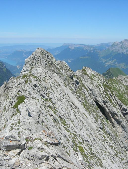
The Arcalod, the highest peak in the Bauges massif (2,217 m), separates 4 valleys between Savoie and Haute-Savoie.
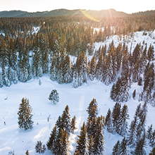
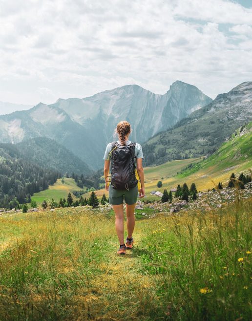
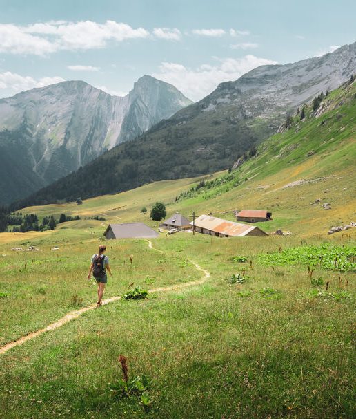
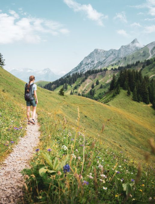
Travelling counter-clockwise, the route first climbs up the forested and then pastoral Bellevaux valley, to the Col d'Orgeval.
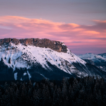
(The ascent of the Pointe d'Arcalod, on the left, begins at the pass. It is exposed and reserved for experienced alpine hikers).
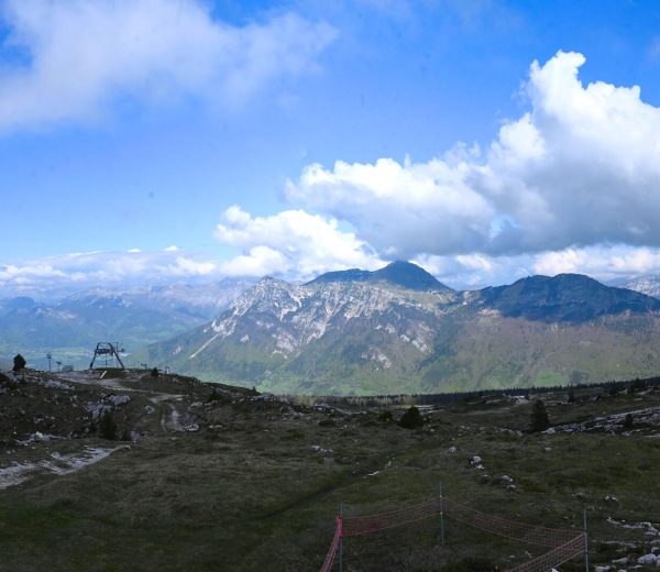
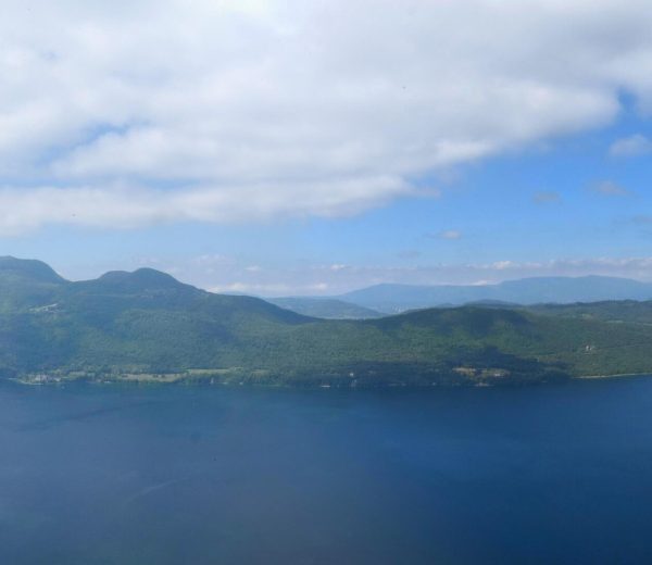
It then overlooks the forested valleys of Saint-Ruph and Combe-d'Ire, where Lake Annecy can be seen in the distance.
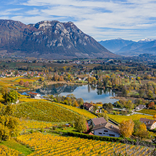
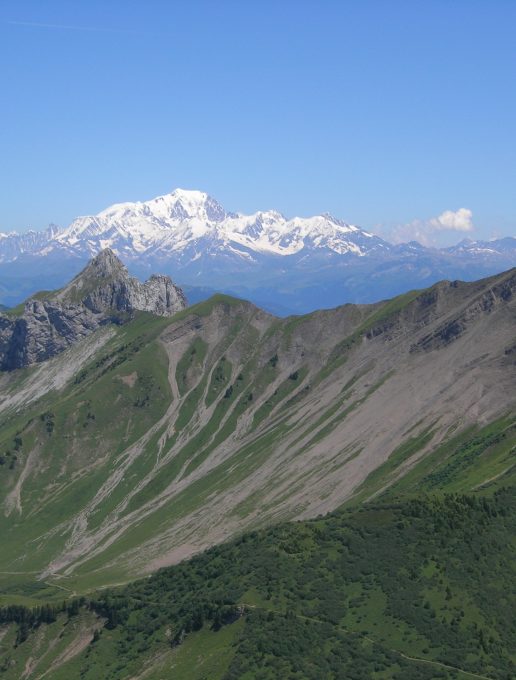
The final descent to Jarsy offers fine views of the Bauges-devant and the Col du Frêne.
DEPARTURE: Jarsy
1/ From Jarsy to the Coutarse refuge / Duration: 6h15 / Ascent: + 1110m / - 344m / Distance: 12km
1 - On leaving Jarsy (D60b), heading towards École, take the left-hand path which runs flat through meadows. Pass under the restored Chapelle de la Lésine and descend through the woods to the hamlet of Carlet (780 m).
2 - At a pond, take a path rising to the left between houses. After the first hairpin bend, climb steeply 600 m to reach the small road leading to the hamlet of Très Roche.
3 - Just before the pond, turn left between the houses. At the next crossroads, turn right. The track heads south. Continue through the forest and after 2 km of crossing the forest road over the Bellevaux valley, reach Rière-Bellevaux.
4 - Reach the bottom of the valley and take the road to the Nant Fourchu parking lot.
5 - Beyond the parking lot, take the steep left-hand track that climbs for 4 km, through forest and then mountain pasture, under the eastern slope of Arcalod.
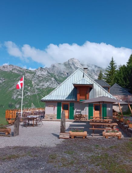
6 - At the crossroads, you can spend the night at the Coutarse refuge. To do so, turn right onto the path leading to the refuge de Coutarse.
2/ From refuge de Coutarse to Jarsy / Time: 4h30 / Ascent: + 715 m / -1478 m / Distance: 7.3km
7 - Reach the Orgeval chalets, aim for the cross to the north, then the collet to the left of the Col d'Orgeval (1732 m). (The ascent of the Pointe d'Arcalod, on the left, begins at the col. It is exposed and reserved for experienced alpine hikers).
8 - From the col, head due north down the winding path towards the St-Ruph valley, until you reach the flat of the Bonverdan chalet (open, unguarded shelter). Nearby, leave the path leading down into the Saint Ruph valley and climb up to the left, under the eastern flank of Arcalod.
9 - After steep switchbacks (beware of exposed passages), reach the Pas de l'Ours (1660 m). Descend to the south-west below the Pointe des Auges, crossing a maze of large boulders and heading due north to the Plan de France flat (do not take the grassy paths leading up to the south towards the Petit Couturier passage).
10- From the Plan de France, descend south-west along the edge of the coppice on the narrow path which, after 1.5 km, joins the Combe d'Ire forest road in a hairpin bend. Follow it up to the Col de Chérel, cutting across a number of switchbacks.
11 - At the pass, leave the wide track and turn right onto the old track which descends into the forest, sometimes steeply. Under Les Plans, take the forest road on the right as far as Pont de Leyat (1055 m).
12 - Cross it to the hamlet of Précherel.
13 - Take a right-hand path to the village of Jarsy.
From 01/06 to 30/09.
Subject to favorable weather.
| Tricky sections | Aerial passage (narrow path) north of Pas de l'Ours |
| Complément accueil | RNCFS regulations prohibit dogs, even on a leash. |
| Nature of the ground |
Stone
Ground Not suitable for strollers |
| Way marking | Yellow/red GRP markings |
| Cartographic references | TOP 25 IGN 3432 OT Massif des Bauges |
| Animaux |
Pets allowed
Hosting conditions: Only working dogs (including assistance dogs) are authorized. |
Pets welcome