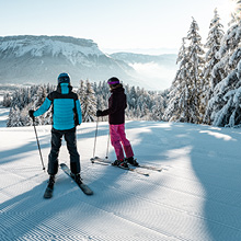
Easy access
Morning
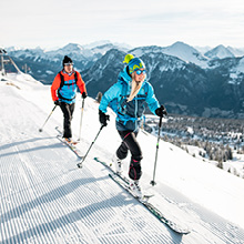
Afternoon

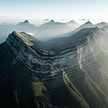
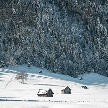
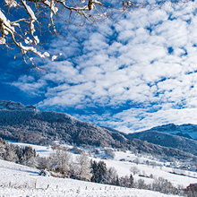
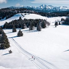
This circuit travels through the forests of Barby and Curienne, which are in the Mont Saint-Michel Mountains, on the foothills of the Bauges. They face south, resulting in a mild southerly microclimate.
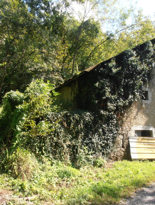
These immense sunny slopes are colonized by lime tree copses, pubescent oak trees, hornbeams, beech trees and many box tree shrubs. On these types of soils you find dry grasslands, home to a distinctive fauna and flora (including many varieties of orchids). Perhaps during your walks you may spot traces of some wild boars, badgers or roe deer which travel through the forest. This forest is particularly dry, so please be careful with cigarette butts.
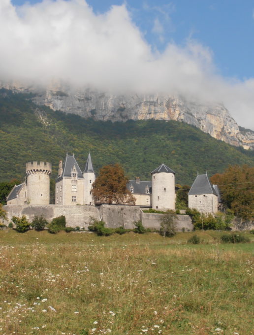
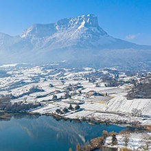
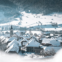
The summit of this hike will take you to the highest point in the commune of Barby, the Roc des Petits Essarts, at 630 m. On the way down, don't miss the magnificent castle of La Bâtie which has dominated the valley since the 13th century.
D/ Start at the "Place de l'Eglise" in Barby.
1/ From the place, take the road opposite - "Route du Château" as far as the bend near the statue of the Virgin. Continue straight on via the "Chemin des Chavonnes".
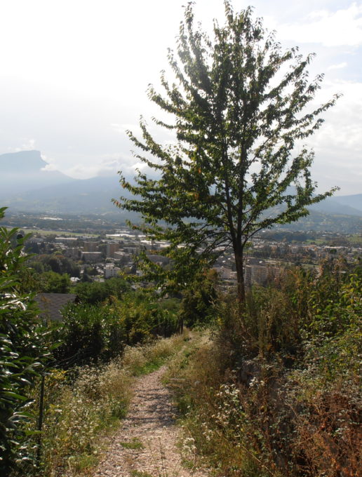
2/ Arriving on the Roman Road, turn left as far as the "sarto" (small cabin). The "Chemin de la Miat" can be found here on your right. After a few hundred metres of rather steep slopes, the well-marked trail snakes through the "Bois de Barby" Woods. Midway up the climb, you'll notice a bench which will enable you to catch your breath while admiring the scenery of the Chambéry Valley.
3/ Still higher up, at the junction after the "Roc des Petits Essarts", go down left through the large wood by following a wide country lane.
4/ Be careful further on: leave this path which would lead you to the D11 road and take the one on your left.
5/ After leaving the wood at the reservoir, cross the road and continue straight ahead on the path which descends towards greenhouses where you reach the D11 road. Follow this road to the right and go past the Château de La Bâtie.
6/ Then take the "Chemin de Grand Verger" and head back to the starting point via the "Chemin des Boites" and the retention basin.
All year round.
| Elevation gain | 336 m |
| Tricky sections | After a rather steep start, this circuit is relatively easy, but it would be advisable to wear walking shoes and to bring something to drink. |
| Nature of the ground | Not suitable for strollers |
| Way marking | Yellow markings on a green background. |
| Cartographic references | Carte IGN TOP25 3332OT - Chambéry / Aix-les-Bains / Lac du Bourget |
| Animaux |
Pets allowed
Hosting conditions: Animaux acceptés en laisse uniquement. |
Pets welcome