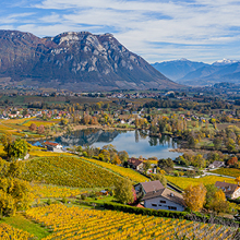
Easy access
Morning
Afternoon

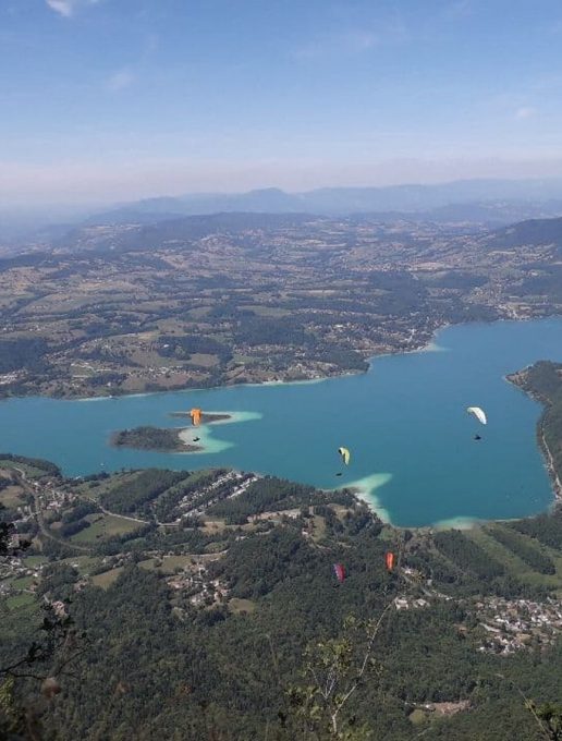
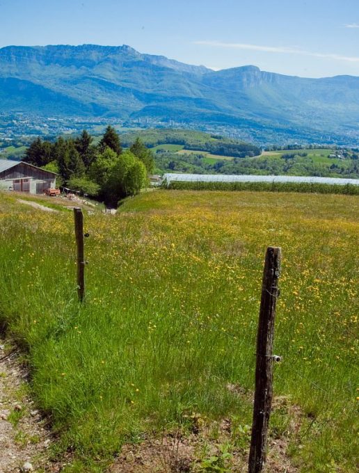
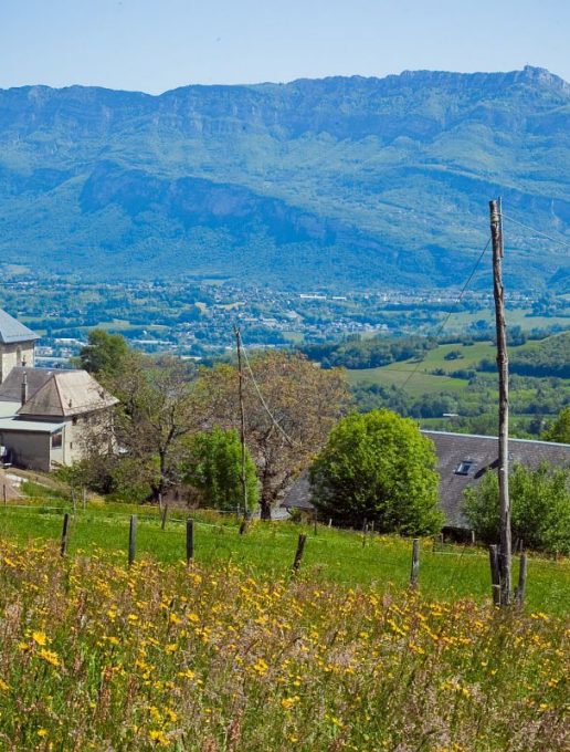
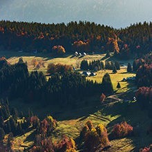
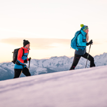
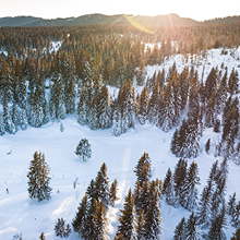
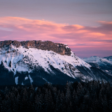
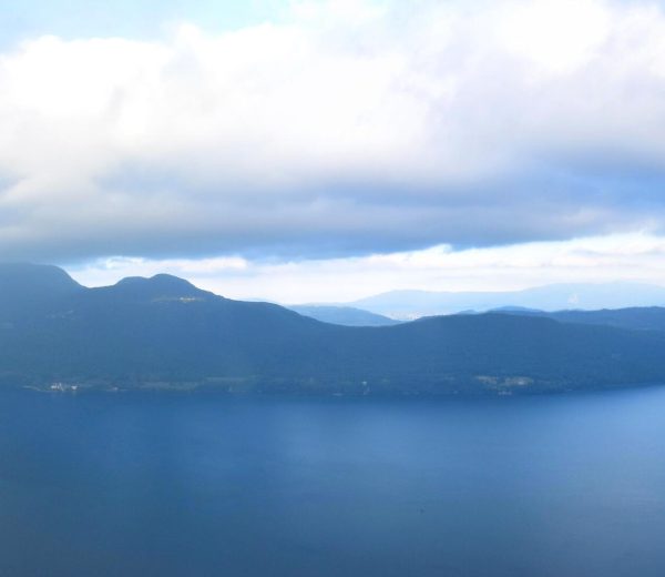
Hiking trail with elevation gain for sports enthusiasts, perfect for a challenge, and why not for trail training! Earn your reward at the summit with a view of the lakes! Walk, run and enjoy!
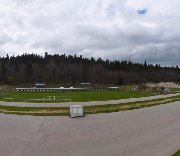
D/ Saint-Sulpice church parking lot.
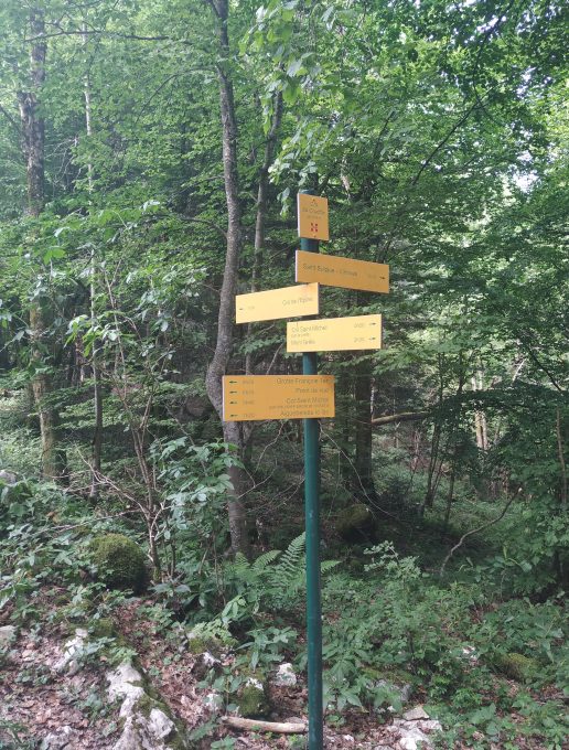
1/ Climb out of the village on the small road, which soon becomes a good stony track. After crossing a wooded area, you come to an intersection above the hamlet of Les Michetons.
2/ Turn left on the track leading down to the hamlet and continue south-west to the next intersection.
3/ Leave the track leading down to Vimines on your left and turn right. Continue south to a new intersection.
4/ Turn right onto the Sarde road leading to the Col du Crucifix, and continue straight ahead on the Voie Romaine, which is now just a footpath. Leave a path on your left, and you'll come to a new intersection.
5/ At this point, leave the downhill path on the left and take the winding path to the Col Saint-Michel crossroads.
6/ Leaving the signs for Aiguebelette and Col du Crucifix, turn left onto the signposted path to Mont Grêle, 1h40 away. The route will take you past Les Soualets.
7/ Leave the left-hand path here and continue straight on.
8/ At Pré Garou, take the track towards Vimines and Saint-Thibault and after 1 km, to avoid the power line work, take the track that climbs to the right.
9/ Continue on this track to reach the crest, ignoring the tracks that start at each of the 3 hairpins.
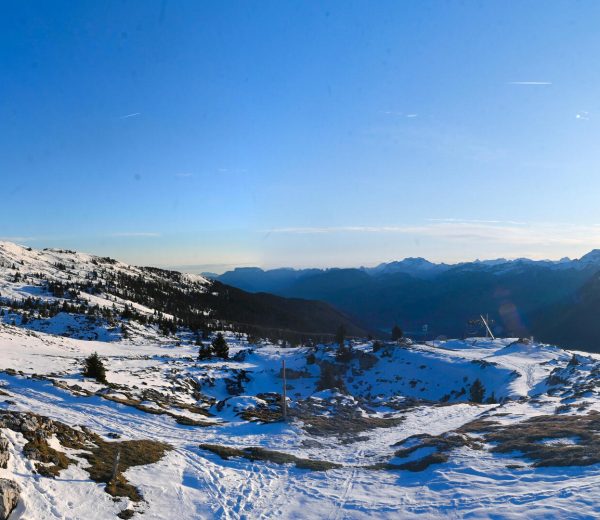
10/ Close to the EHV line pylons, turn left towards the summit of Mont Grêle along a narrow path. Reach the summit.
11/ Return to the Saint Sulpice parking lot along the same route as the outward journey.
D/ Saint-Sulpice church parking lot.
1/ Climb out of the village on the small road, which soon becomes a good stony track. After crossing a wooded area, you come to an intersection above the hamlet of Les Michetons.
2/ Turn left on the track leading down to the hamlet and continue south-west to the next intersection.
3/ Leave the track leading down to Vimines on your left and turn right. Continue south to a new intersection.
4/ Turn right onto the Sarde road leading to the Col du Crucifix, and continue straight ahead on the Voie Romaine, which is now just a footpath. Leave a path on your left, and you'll come to a new intersection.
5/ At this point, leave the downhill path on your left and take the winding path to the Col Saint-Michel crossroads.
6/ Leaving the signs for Aiguebelette and Col du Crucifix, turn left onto the signposted path to Mont Grelle, 1h40 away. The route will take you past Les Soualets.
7/ Leave the left-hand path here and continue straight on.
8/ At Pré Garou, leave the track to the left towards Vimines and Saint-Thibault and turn right.
9/ At Pré de la Drogaz, fork right and continue as far as Signal.
10/ Near the pylons of the THT line, turn left at the fork, then right 150m further on to the summit of Mont Grelle. Reach the summit.
11/ Return to the Saint Sulpice parking lot along the same route as the outward journey.
Closed temporarily.
| Elevation gain | 821 m |
| Dénivellation négative | 8 m |
| Tricky sections | RTE, le Réseau de Transport d’Electricité, sécurise son réseau à 400 000 volts sur le franchissement de la falaise du Mont Grêle. RTE intervient pour remplacer 2 pylônes en crête du Mont Grêle ainsi que la portion de câble qui surplombe la falaise. Fin des travaux prévue novembre 2024 Pour votre sécurité, merci de rester vigilant et de respecter les consignes à proximité de la zone de chantier. RTE appelle les promeneurs à la vigilance. Durant les périodes de travaux : ne cheminez pas dans les emprises chantier délimitées et respectez les itinéraires de déviation balisés. Pour information : La crête à partir du point coté 1166m sous la pointe de Gratte-cul jusqu'en amont des pylônes du Mont Grêle n'est plus praticable à la randonnée |
| Complément accueil | Caution: Réseau de Transport d'Electricité is securing its 400,000-volt network on the Mont Grelle cliff crossing. Please remain vigilant and follow the instructions in the vicinity of the worksite. During work periods: please do not walk in the demarcated site rights-of-way, and follow the signposted detour routes. |
| Nature of the ground |
Rock
Ground Not suitable for strollers |
| Way marking | Sentier balisé jaune |
| Cartographic references | IGN 3333OT |
| Animaux |
Pets allowed
Hosting conditions: Pets allowed on leash only. |
Pets welcome