Easy access
Morning
Afternoon

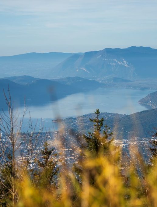
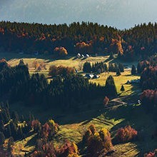
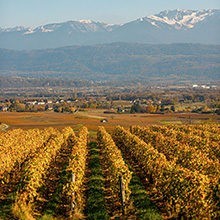
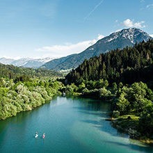
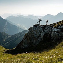
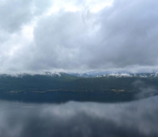
A beautiful, long loop to take in a number of views of the Chambéry valley and surrounding area, starting from a small hamlet within easy reach of the town.
1/ From the car park, walk a few metres along the road into the hamlet and turn right onto "route de l'école".
2/ Go past a fountain, walk another 50 metres or so and then turn right onto a dirt path.
3/ The path climbs gently at first, then twists and turns as the slope steepens.
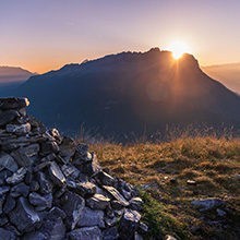
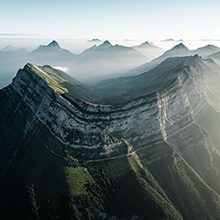
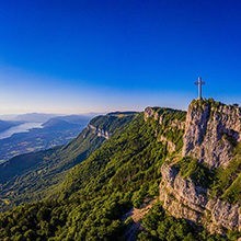
4/ After about an hour's climb, you come to an open area. The Nivolet cross appears above you. Go right to reach "les Grands Prés", the mountain pastures below the pas de l'échelle.
5/ Cross the pas de l'échelle. This passage through a weakness in the cliff is equipped with cables and ladders to help you on your ascent. It is advisable to remain cautious. This section is not recommended for those prone to vertigo.
6/ After reaching the Nivolet cross, take the path along the ridge to the Chalets du Sire.
7/ From the chalets, continue along the pastoral path down to the belvedere at Le Sire.
8/ From here, look for the path leading down towards Malpassant. Follow it over a series of switchbacks to the place of the same name.
9/ Reach the paragliding take-off area, then walk along the cliffs to the "Replat".
10/ Finally, return to the hamlet of Pragondran and the departure car park.
1/ From the car park, walk a few metres along the road into the hamlet and turn right onto "route de l'école". 2/ Go past a fountain, walk another 50 metres or so and then turn right onto a dirt path. 3/ The path climbs gently at first, then twists and turns as the slope steepens. 4/ After about an hour's climb, you come to an open area. The Nivolet cross appears above you. Go right to reach "les Grands Prés", the mountain pastures below the pas de l'échelle. 5/ Cross the pas de l'échelle. This passage through a weakness in the cliff is equipped with cables and ladders to help you on your ascent. It is advisable to remain cautious. This section is not recommended for those prone to vertigo. 6/ After reaching the Nivolet cross, take the path along the ridge to the Chalets du Sire. 7/ From the Chalets, continue along the ridge down to the Belvedere du Sire. 8/ From here, look for the descent path towards Malpassant. Follow it over a series of switchbacks to the place of the same name. 9/ Reach the paragliding take-off area, then walk along the cliffs to the "Replat". 10/ Finally return to the hamlet of Pragondran and the start car park.
From 01/05 to 31/10.
Subject to favorable weather.
| Elevation gain | 735 m |
| Tricky sections | Passage rocheux raide équipé de câbles et échelles. |
| Nature of the ground | Not suitable for strollers |
| Cartographic references | Carte TOP 25 IGN 3332 OT CHAMBERY - AIX LES BAINS - LAC DU BOURGET |
| Animaux |
Pets allowed
Hosting conditions: Le pas de l'échelle nécessite d'escalader quelques mètres de rocher à l'aide de câbles et barreaux. Les animaux ne peuvent pas passer seuls. |
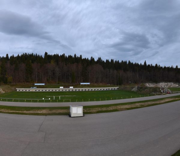
Free car park
Car park
Pets welcome