Easy access
Morning
Afternoon

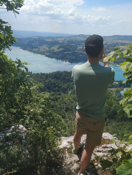
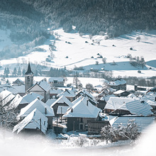
This walk combines nature and history, offering superb views over Lake Aiguebelette and allowing you to learn more about the Roman and Sardinian eras... Don't forget your camera!
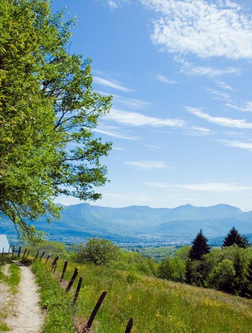
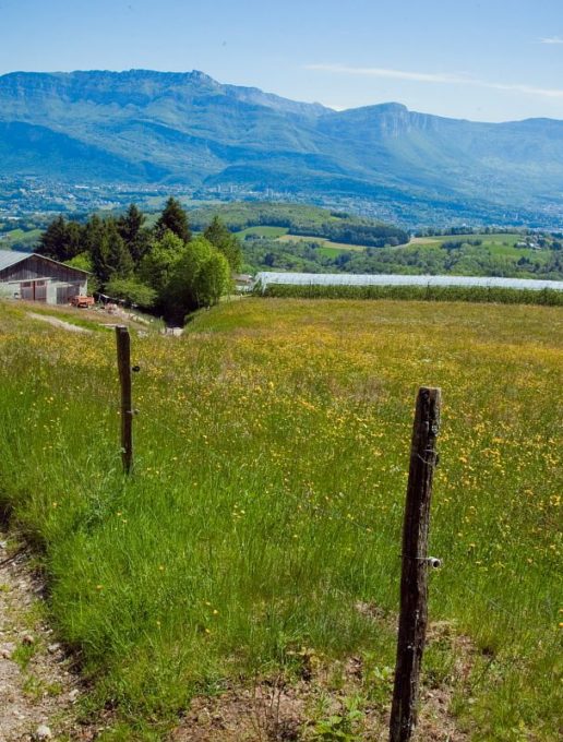
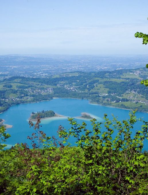
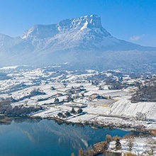
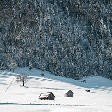
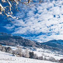
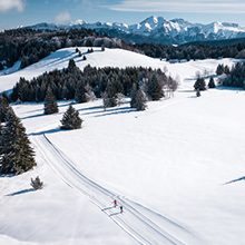
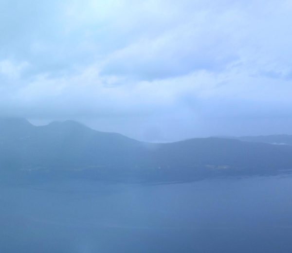
This fairly easy walk is a superb opportunity to let your gaze wander and take in the magnificent scenery: first the Chambéry Valley nestling between Lake Bourget and the Bauges and Chartreuse Massifs, then once you reach the crests the emerald waters of Lake Aiguebelette will reveal themselves below.
The views are particularly impressive when you arrive above the hamlet of Les Michetons, at the Col du Crucifix, then at the Col Saint Michel and during the crossing between the two passes.
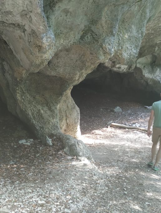
If you choose to take the alternative route, be sure to stop for a moment at the François I caves. The King of France took the Sardinian road on his way to Chambéry to honour the Holy Shroud, then kept by the Dukes of Savoy in the Sainte Chapelle of the castle. On the way back, caught in a violent storm, he was forced to stay in the caves, which were named after him.
D/ Car park at Saint-Sulpice church.
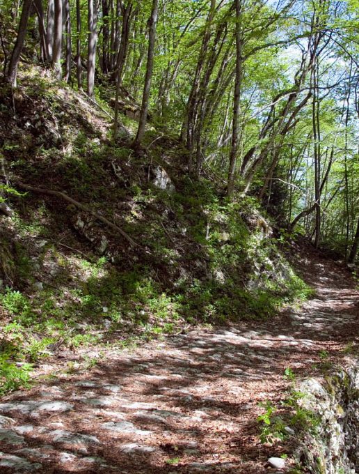
1/ From Saint-Sulpice, at the church, take the Chemin du Crucifix ( Sign): start on the signposted path that leads to the two passes, the Col du Crucifix and the Col Saint Michel.
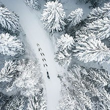
After 1 km, the path will take you above the hamlet of Les Michetons.
2/ Continue on this path (uphill) for around 500m until you come to a crossroads where, on your right, you will see the wide path following the Sardinian road and, opposite you, the path following the Roman road.
Follow the path on your right towards the Col du Crucifix (915m altitude), which you reach after a winding climb!
3/ Then take the ridge crossing towards the Col Saint Michel without leaving the main path.
You can also follow the alternative route from the Col du Crucifix down the Sardinian road to the François I caves. At the caves, continue along the path, then at the fork in the road, head towards the Col Saint Michel, which you will reach by climbing back up the Roman road.
4/ Once you reach the Col Saint Michel, continue straight on towards Saint Sulpice.
The return journey is a steep climb, leaving the first track on your left. Continue along the main path until you find the path you took on the outward journey at the junction of the Sardinian and Roman roads.
5/ You've come full circle, now all you have to do is retrace your steps back to Saint Sulpice.
All year round.
Can be done when there is no snow and depending on the weather conditions. Check with the Tourist Information Centre beforehand for current conditions.
Subject to favorable weather.
| Elevation gain | 405 m |
| Nature of the ground |
Rock
Ground Not suitable for strollers |
| Way marking | Balisage jaune et GR (rouge et blanc). |
| Cartographic references | TOP 25 IGN - 3333 OT - Massif de la Chartreuse Nord |
| Animaux |
Pets allowed
Hosting conditions: We strongly advise you to keep your dogs on a lead, especially when approaching farming areas. |
Pets welcome