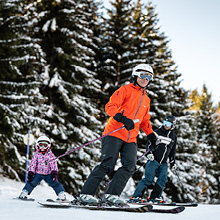
Easy access
Morning
Afternoon

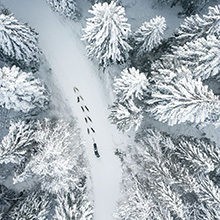
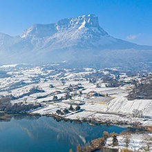
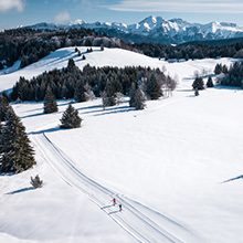
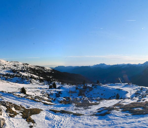
A low-gradient trek between Mont Trélod and Mont Julioz from Bellecombe or Doucy-en-Bauges.
On your way from Bellecombe-en-Bauges, park in the centre of Mont Devant.
Continue on foot, following the route to get to the first turning.
Take the path which goes to the left. Climb up the path until it intersects with the piste at Sanguinaire.
Going right, climb up the piste until you reach the Reposoir.
Turn right and cross the river (via the footbridge) then walk up the sloped field. When you reach a flat area, turn left onto the path.
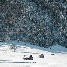
Go down towards the stream and cross it. Climb up the large meadow diagonally, leaving behind the signs that go the length of the wood’s border, and link up with the path that joins le Golet and the Stable buildings ahead.
Continue by climbing up to the left, move along the length of the buildings and advance for a while, climbing at first and then descending until a hairpin turn (marked out at intervals on the map).
Go left at the turning and continue descending. At Col de Bornette (7), walk straight on then go past the chalets of Noubloz.
Shortly after, turn left. Go down via the path until the platform at the Reposoir. Take the right turning and get back to the path you climbed earlier.
Follow the piste for a smoother final descent. You will catch sight of the car park.
From Doucy-en-Bauges, park at the end of the paved road and follow the good mountain road to the alpine chalets. By continuing between the chalets, you will reach the Col de Bornette.
Before you leave, don’t forget to ask for information on snow conditions and avalanche risks.
From 01/12 to 15/04.
| Elevation gain | 522 m |
| Cartographic references | Map TOP 25 IGN 3432 OT, Massif des Bauges |
Parking