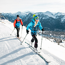
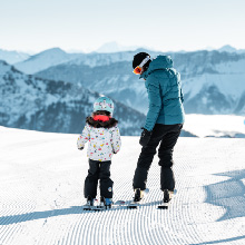
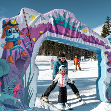
Easy access
Morning
Afternoon

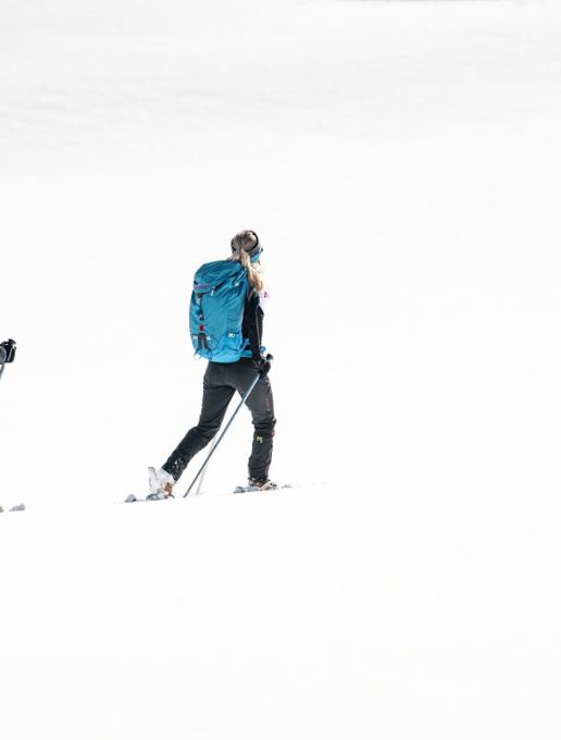
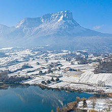
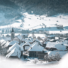
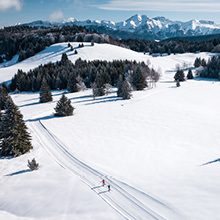
The starting point is from above the resort, after the Correrie farm. It is a loop circuit where most of the slope follows the summer route The North-East/South-West orientation allows you to enjoy plenty of sunshine all along the trail.
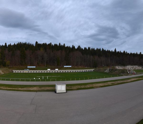
Parking close to the Chapelle de la Correrie. The route starts in the bend at La Correrie (after the sawmill) at the route description sign, altitude 975 m.
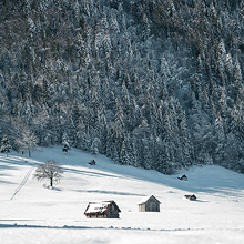
Go straight across the field. Cross the bridge below the Chartreuse d'Aillon (open to visitors from May to September). Turn right. Go up through the meadows and join the road. The path then follows the road to Praz Gelaz (Savoyard dialect for frozen meadow). Along the way, you'll pass a landscaped area where you can take a break (picnic tables, forest hut).
Continue along the road to the Praz Gelaz chalets. On the way back, follow the road to a crossroads.
Turn right towards "Lourdens" and continue as far as the Muret car park. At the "Lourdens 40'" sign, go down into the undergrowth and after a few dozen metres you will come to the edge of a meadow. The descent is through the meadow. Gradually rejoin the road. Return in the opposite direction to the start.
From Praz-Gelaz, you can also climb up to the Col de la Fullie: allow an extra 1h a/r, 200 m of positive ascent.
0/ Parking close to the Chapelle de la Correrie.
The route starts in the bend at La Correrie (after the sawmill) at the route description sign, altitude 975 m.
1/ Go straight across the field. Cross the bridge below the Chartreuse d'Aillon (open to visitors from May to September). Turn right. Go up through the meadows and join the road. The path then follows the road to Praz Gelaz (Savoyard dialect for frozen meadow). Along the way, you'll pass a landscaped area where you can take a break (picnic tables, forest hut).
2/ Continue along the road to the Praz Gelaz chalets. On the way back, follow the road to a crossroads.
3/ Turn right towards "Lourdens" and continue as far as the Muret car park. At the "Lourdens 40'" sign, go down into the undergrowth and after a few dozen metres you will come to the edge of a meadow. The descent is through the meadow. Gradually rejoin the road. Return in the opposite direction to the start.
4/ From Praz-Gelaz, you can also climb up to the Col de la Fullie: allow an extra 1h a/r, 200 m of positive ascent.
From 19/12 to 30/04.
| Elevation gain | 300 m |
| Nature of the ground | Non-groomed itinerary |
| Cartographic references | Map IGN3432OT Top 25 Massif des Bauges |