Easy access
Morning
Afternoon

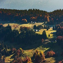
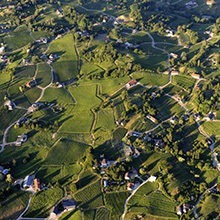
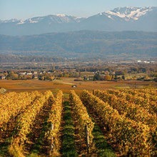
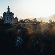
This itinerary is first of all an invitation to daydream and to discover many parks and beautiful views of the valley of Chambéry. Make a stop at the house “Les Charmettes” and its gardens, house where Rousseau stayed.
What to see
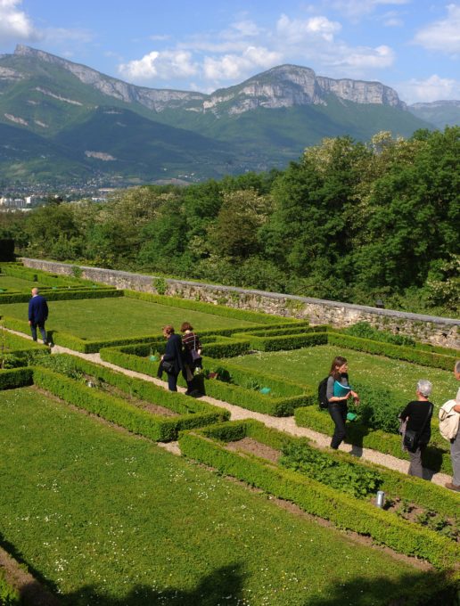
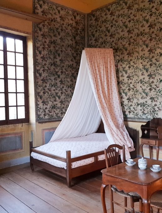
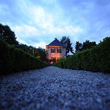
- Les Charmettes, House of Jean-Jacques Rousseau. Classified as a "Maison des Illustres", this residence is the place where the personality and thought of the famous philosopher were formed. Today, it's a museum of atmosphere and literary memorabilia.
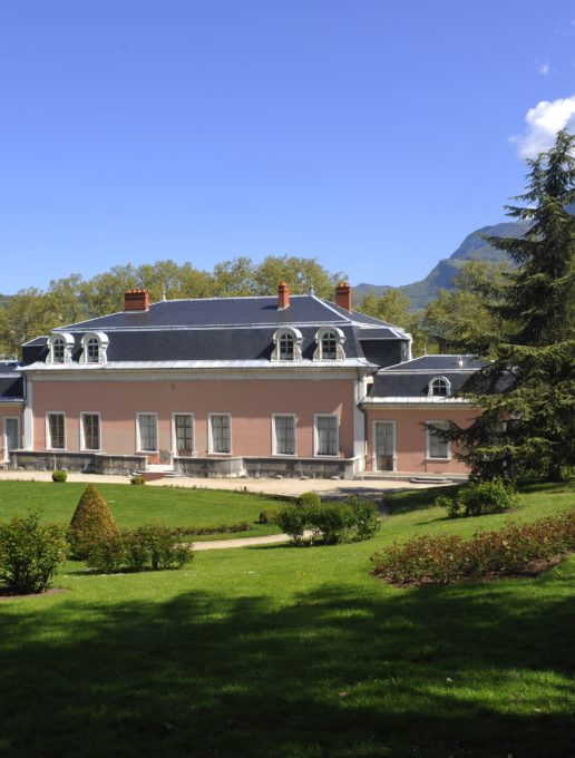
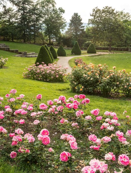
- Château de Boigne and its alpine rose garden.
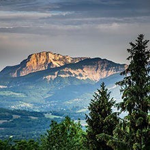
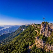
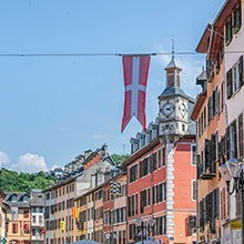
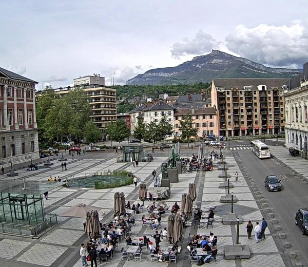
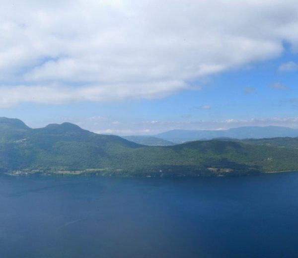
- The many viewpoints over the Chambéry valley.
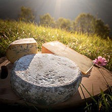
- Local products at La Ruche Boutik', the Chambéry Montagnes Tourist Office store.
Start in front of La Ruche Boutik' (the Tourist Information Centre shop).
1/ Go around the building by the right and cross the "Carré Curial" beside "Espace Malraux". Then cross the "Rue Michaud" and take the "Rue de la Calamine" as far as the Calamine Park (Parc de la Calamine).
2/ Go up through the park via the tarred path and follow it to the end, then continue via the trail alongside the mountain stream. The trail then goes into the meadow (a cul de sac lane allows you to reach the first information board), then go up through the forest to the crossing of the "Avenue de la Grande Chartreuse" (cross on the zebra crossing).
3/ Take the "Chemin de Jean-Jacques" facing you, and then, the stony path going uphill to the right. Follow it and in 10 minutes you'll arrive at a small square.
4/ Follow the lane called the "Chemin des Rendez-vous" to the right and continue further on on the "Chemin de Rosemond".
5/ At the following two junctions, go along the "Parc de l'Étincelle" (park) which has some children's play areas. At the end of this park near the water tower there is a second information board.
6/ The track then becomes a trail, traverses a wooded area and then descends left between the meadows. At the bottom of the meadows, take the left trail, which becomes a track again while entering a sweet chestnut tree forest after a right bend.
7/ After walking for 5 minutes you come to a road that you cross to take another one that descends slightly to the left and that we leave very quickly to take a dirt track to the right.
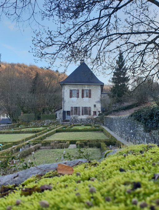
8/ Before following this track, a slight detour by continuing on the road allows you to discover the "Charmettes" below, the residence of Madame de Warens where Rousseau lived from 1736 to 1742 and which he evokes in his book, "Confessions". Then go back to the start of the dirt track.
9/ The track goes through a wood, then meadows and further on reaches houses. After a slight descent, take the first road on the left (Route de Chanaz) and 300 m further on, a descending path on the left.
10/ At the end of this descent, cross the road (zebra crossing) and enter the meadow facing you. The path goes into a poplar forest, go up via steps, go downhill and come out onto the road called "Chemin du Vercors".
11/ Follow the road right for 100 m, take to the left the little steps and the passage in an old wall bordering the "Parc de Buisson Rond".
12/ Go down through the park, and then traverse the rose garden and go around the Château de Boigne.
13/ Then take the path below the castle to the left bordering the skating rink (patinoire) as far as the Monge roundabout.
14/ Turn left onto the "Avenue Marius Berroir" while walking alongside the Lycée Monge (secondary school), then at the roundabout go straight ahead on the "Rue Costa de Beauregard".
15/ At the next roundabout, be sure to climb the steps of the "Chemin de la Fontaine Saint Martin" to admire the wonderful view of the roofs of the old town.
Go back down the steps and at the roundabout take the "Rue de la République" to the left to return to the starting point.
All year round.
| Elevation gain | 180 m |
| Tricky sections | Be careful of traffic when crossing the "Avenue de la Grande Chartreuse", the road is narrow and there's little place for pedestrians. |
| Nature of the ground |
Stone
Hard coating (tar, cement, flooring) Grit Not suitable for strollers |
| Way marking | Yellow markings. |
| Cartographic references | TOP 25 IGN - 3333 OT - Massif de la Chartreuse Nord |
| Animaux |
Pets allowed
Hosting conditions: Dogs must be kept on a lead. |
Pets welcome