Easy access
Morning
Afternoon

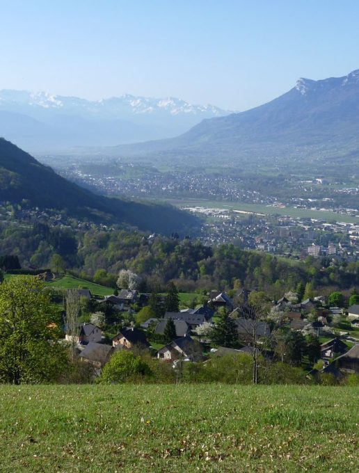
Overlooking the River Leysse, below the village, the itinerary allows you to travel through areas that were planted with vines in the past and to discover the traces of this activity: numerous vine stocks, stakes from the former trellis and even several "sartos" (small cabins).
Discover
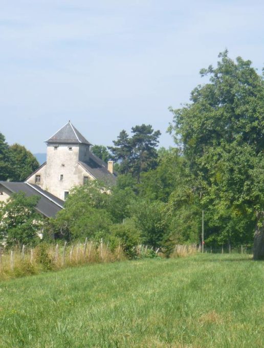
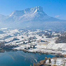
-Château de Salins (private): this castle is situated below the village hall, dominating the Leysse riverbed and facing the Château de la Bâtie on the other riverbank. It consists of a tower within the 16th- and 17th-century main buildings.
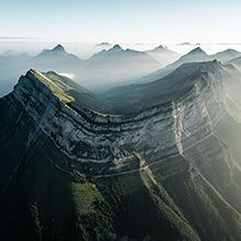
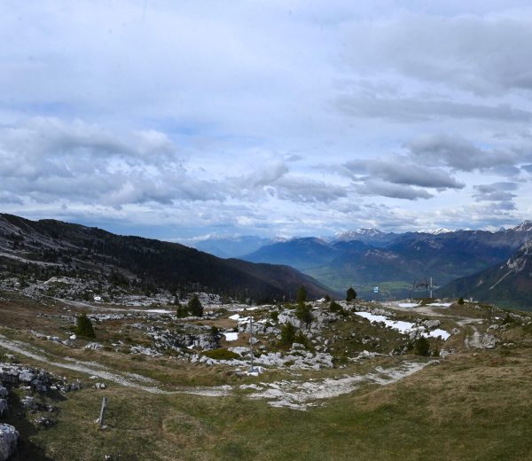
-Viewpoint of the River Leysse: along the trail, a gap in the trees allows you to spot the Leysse that flows below in a deep and sinuous gorge between the Trou de l'Enfer (Hell Hole) and the Bout du Monde.
Interesting titbits
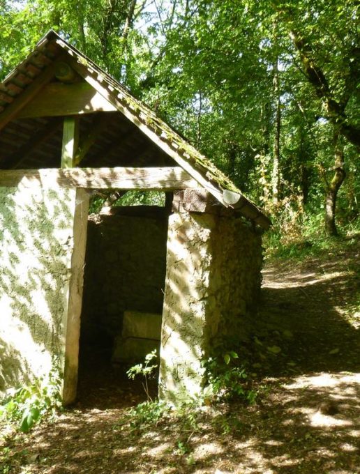
The trail on the hillside brings you in close proximity to 4 "sartos" (small storehouses), more or less restored. These small houses built by the mountain people near their vines, were used for storing the tools and implements necessary for daily work. Some "sartos" even had a bedroom upstairs for spending the night; the majority were equipped with a tank for harvesting rainwater from the roof for making the fungicide "Bouillie Bordelaise" or "Bordeaux Mixture" (with its characteristic blue colour), which was then sprayed on the foliage.
"Sarto" comes from "sarre-tôt" from the Savoyard dialect meaning the place where everything is put close together.
D/ Car park at the Salle des Fêtes
1/ Take the small road on the right and follow it for 900 m (blue markings).
2/ Go past the cemetery (another possible departure point) then turn left and head downhill towards the "sentier des vignes".
3/ At the 2nd sarto (small hut) take the path on the left, still following the blue markings.
N.B.: You can take the shortcut via the Côtes Rodières path.
4/ At the "Les Lantillères - 510 m" sign, continue uphill towards St-Jean-d'Arvey.
5/ Turn left when you reach the tarmac road and return to the village hall via the RD 206.
All year round.
Subject to favorable weather.
| Elevation gain | 308 m |
| Nature of the ground |
Stone
Ground Not suitable for strollers |
| Way marking | Blue markings. |
| Cartographic references | Walks and hikes, Chambéry urban area. IGN Top 25 - 3332OT. |
| Animaux |
Pets allowed
Hosting conditions: Animaux acceptés en laisse uniquement. |
Pets welcome